Weather forecast for the next 24-48 hours, continental cold high pressure will be stable. Above, the subtropical high pressure with an axis through the North will encroach on the West after stable activity.
In the southern sea, the Northeast wind will decrease slightly and operate at weak intensity. High-altitude easterly wind disturbances exist.
Weather forecast for the next 3-10 days, the continental cold high pressure will be stable, around October 19 it will strengthen again, then strengthen more strongly around October 20-21.
Above, the subtropical high pressure will operate stably, from around October 18-19, it is likely to weaken and lift its axis to the North. In the southern sea, the Northeast wind will operate at weak intensity.
Around October 18-19, the high-altitude wind convergence will operate well in the Southern region. A low pressure area will form in the Northwest Pacific Ocean and is likely to strengthen into a tropical depression/storm, around October 19-20, and is likely to enter the East Sea.
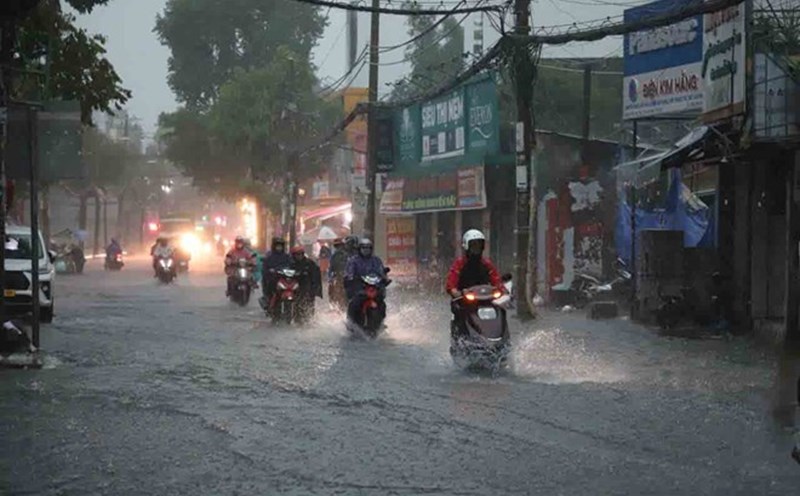
Therefore, the Southern region will continue to have scattered showers and thunderstorms; in the afternoon and evening, there will be scattered showers and thunderstorms, with some places having heavy rain.
Regarding high tides, water levels at most stations on the Saigon River system will change slowly in the next 1-2 days, then rise again according to the tide.
By October 19, the highest daily tide peak at Phu An and Nha Be stations is likely to reach 1.45-1.50m (approximately or 0.05m lower than alert level II), Thu Dau Mot station is likely to reach a height of 1.55-1.60m (approximately or 0.05m lower than alert level III).
It is necessary to be on guard against flooding in low-lying areas, along rivers and some roads in the areas of Thu Dau Mot, Thuan An, Phu An, Phu Thuan wards, Tran Xuan Soan and Huynh Tan Phat streets.