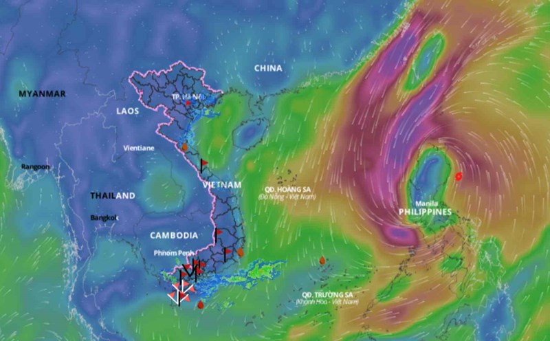
Afternoon of July 30, on satellite cloud images, lightning positioning data and weather radar images show that convective clouds are forming over the areas of Binh Phuoc, Ho Chi Minh City, Tien Giang, Ben Tre. The cloud clusters are slowly moving to the Northeast.
In the next 4 hours, these convective clouds will cause showers and thunderstorms in the mentioned areas, then some cloud clusters may continue to form in neighboring areas such as Vinh Long, Tra Vinh, Long An. In thunderstorms, there is a possibility of tornadoes, lightning, hail, and strong winds.
In the next 24-48 hours, the low-pressure trough will be positioned over the Northern region. The Southwest monsoon will be active with moderate intensity. At high altitude, the subtropical high-pressure system tends to extend westward.
From 72 hours to 10 days, the low-pressure trough over the Northern region will persist. The Southwest monsoon will continue to be active with moderate intensity.
At high altitude, the subtropical high-pressure system will continue to extend westward and will be positioned across the South Central Coast - Southern region.
Therefore, in the coming days, rain will gradually decrease in the Southern region. However, in the late afternoon and evening, there will be scattered showers and thunderstorms.

