On the morning of June 15, Lao Cai Provincial Hydrometeorological Station informed that, through monitoring satellite images, lightning positioning data and weather radar, many convective cloud areas are developing strongly, causing showers and thunderstorms in Ban Ho, Duong Quy, Muong Bo, Nam Chay, Nam Xe, Ta Van communes.
Notably, convective clouds from Tuyen Quang, Lai Chau and Son La provinces are continuing to move towards Lao Cai. In the Ban Ho and Muong Bo areas, the maximum response on radar records about 35 dBZ, showing the possibility of heavy rains.
It is forecasted that in the next few hours, convective clouds will continue to develop and expand, causing showers, with heavy to very heavy rain in some places accompanied by thunderstorms and strong winds. The scope of impact is not only in the Sa Pa area but also spreading to many communes and wards in the area.
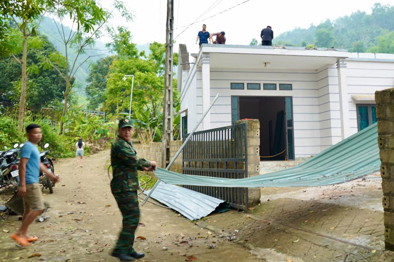
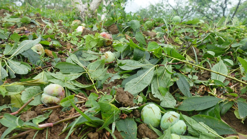
The meteorological agency warns that during thunderstorms, there is a possibility of tornadoes, lightning, hail and strong gusts of wind. These dangerous weather phenomena can break trees, blow off roofs, affect electrical systems, traffic and infrastructure works, threatening the safety of people's lives and property.
The level of natural disaster risk due to tornadoes, lightning and hail is determined at level 1.
Faced with complicated weather developments, Lao Cai Provincial Hydrometeorological Station recommends that people regularly follow weather forecasts and warnings; limit movement through areas at risk of landslides, flooding or when thunderstorms occur; proactively take measures to ensure safety for people and property.


