
In the afternoon of September 13, heavy rain appeared on a large scale in Ho Chi Minh City. At the same time, high tides caused drainage in many areas to be affected, and water quickly rose on the road surface.
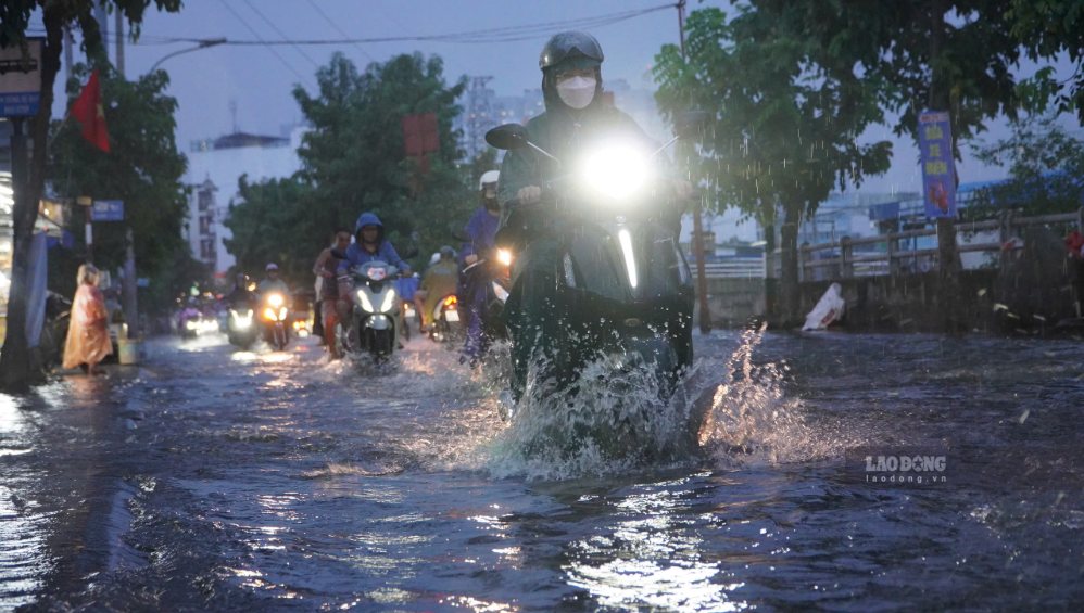
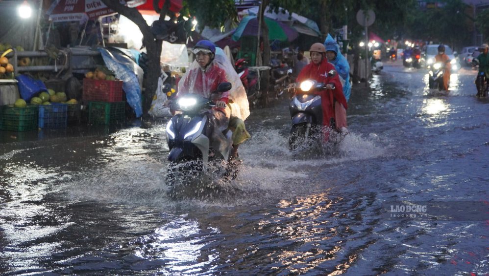
Recorded on Tran Xuan Soan street (Tan Thuan ward), high tide water has caused many sections of roads to be flooded for a long time, in some places the water almost covered the wheels of motorbikes.
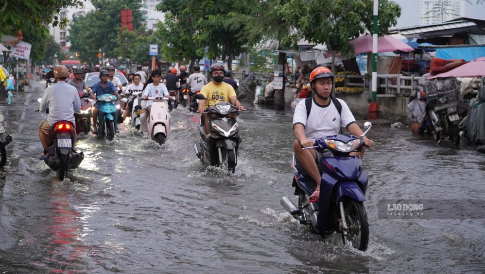
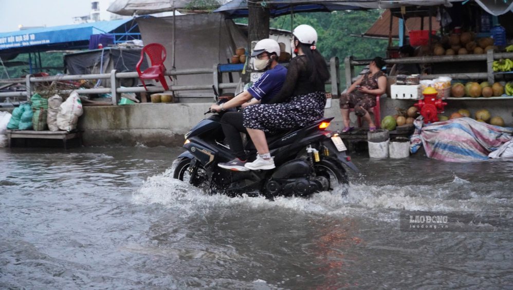
People traveling through this area had to slow down, checking each road section to avoid low-lying locations. Some motorbikes stalled when trying to cross deep water.
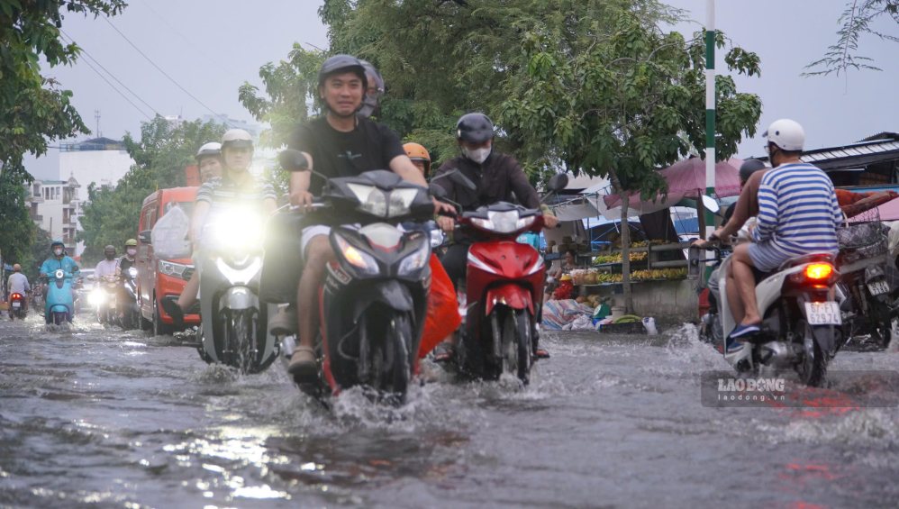

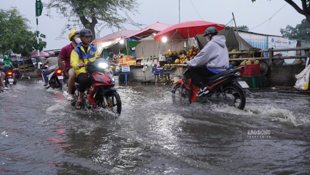
Ms. Nguyen Thi Oanh, a resident living near Tran Xuan Soan street, said that this area often experiences flooding when high tides rise.
Yesterday and today it rained heavily, and it was also the time when the tide rose high, so the water rose quickly, making it difficult for vehicles to pass. Motorcyclists have to drive slowly, some sections are quite deeply flooded, many people have to push their motorbikes through" - Ms. Oanh said.
According to Ms. Oanh, flooding often causes many inconveniences for people's lives, especially during prolonged heavy rains. Rising water on the road surface also makes it difficult for people to move, especially during peak hours.

In some areas of other low-lying roads such as Nguyen Van Huong (An Khanh ward), Binh Quoi street (Binh Quoi ward)... rain combined with high tide at the same time also caused water to rise.
According to the Southern Regional Hydrometeorological Station, the current situation causing thunderstorms in Ho Chi Minh City is a tropical convergence zone with an axis spanning the Central Central region, connected to a tropical depression in the central East Sea area. Southwest monsoon is operating with moderate intensity.
Monitoring on satellite cloud images, weather radar and lightning positioning systems shows that convective clouds are developing, causing showers with thunderstorms and lightning in many areas in Ho Chi Minh City.
Areas with thunderstorms include many wards and communes such as Ben Thanh, Cho Lon, Binh Tien, Tan My, Thoi Hoa, Hoa Loi, Phu An, Tay Nam, Long Nguyen, Ben Cat, Chanh Phu Hoa, Vinh Tan, Cu Chi, Tan An Hoi, Thai My, An Nhon Tay, Nhuan Duc, Phu Hoa Dong, Binh My, Phu Giao, Phuoc Hoa, Phuoc Thanh and An Long.
In the next 3 hours, convective clouds will continue to develop, causing showers, thunderstorms and lightning in the above areas, then it is likely to expand to neighboring areas.
Common rainfall is from 5-20mm, in some places over 30mm. During thunderstorms, people need to be wary of tornadoes, lightning, hail and strong gusts of wind at level 5-7, equivalent to about 8-17m/s.
Regarding high tides, the water level in most rivers in the Southern region rises rapidly due to the impact of the high tide period at the beginning of August of the lunar calendar. In the coming days, the water level will continue to rise rapidly. The peak tide is forecast to appear between now and September 14.


