
Records show that widespread thunderstorms accompanied by lightning appeared in Ho Chi Minh City and neighboring areas. The prolonged rain for many hours caused many roads to be wet and slippery, vehicles to move slowly, and the risk of localized congestion in some areas.
According to the Southern Hydrometeorological Station, through monitoring satellite cloud images, weather radar images and lightning positioning data, convective clouds are developing strongly, causing showers with thunderstorms and lightning in many areas of Ho Chi Minh City such as Cau Ong Lanh, Binh Tien, Tan My, Tan Hung, Phu Dinh, Binh Dong, Thu Duc, Tam Binh, Binh Chanh, Binh Hung, Binh Khanh, An Thoi Dong... At the same time, thunderstorms also appeared in many bordering localities of Binh Duong such as Di An, Thoi Hoa, Tan Dong Hiep, An Phu, Thuan Giao, Long Nguyen, Ben Cat, Tan Hiep and Tan Khanh.
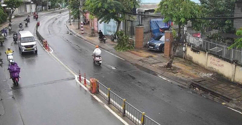
In the next 3 hours, convective clouds are forecast to continue to develop and expand, maintaining showers with thunderstorms and lightning in the above-mentioned areas, then spreading to neighboring areas. Common rainfall is from 5-20 mm, in some places over 30 mm.
The meteorological agency warns that during thunderstorms, people need to be wary of tornadoes, lightning, hail and strong gusts of wind at level 5-7 (8-17 m/s). Heavy rain in a short time can also cause localized flooding in low-lying areas and urban areas.
The cause of this thunderstorm is due to the Southwest monsoon operating with moderate to strong intensity, combined with the wind convergence zone existing in the Southern region, creating favorable conditions for convective clouds to develop strongly.


