According to the National Center for Hydro-Meteorological Forecasting's forecast bulletin and seasonal hydrological warning nationwide, from February 2026 to now, the water level on the main rivers of the Northern region has changed slowly and fluctuated according to the regulation regime of the upper-level reservoirs, and the water level downstream of the rivers fluctuates according to the tide.
In particular, in mid-April 2026, at 7:00 AM on April 15, the water level on the Thao River at Phu Tho station showed the lowest historical value of 10.20m.
However, after that, the water level here dropped even lower, according to the short-term hydrological forecast and warning bulletin (April 16 and April 17), the water level value measured at Phu Tho station at 1:00 PM and 7:00 PM on April 15 was only 10.15m, by 1:00 PM on April 16 it dropped to only 10.14m.

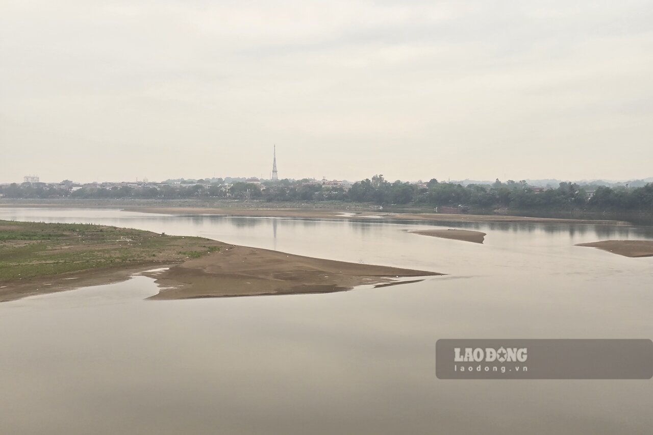
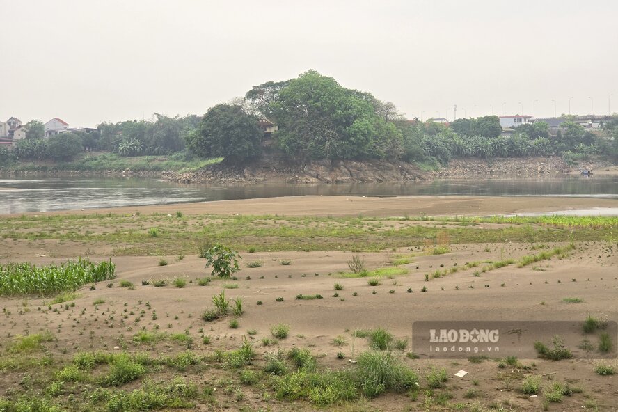
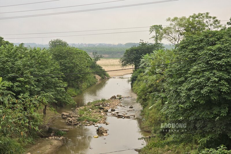
According to records of Lao Dong Newspaper reporters in mid-April, images of the Thao River are shallow and narrow, with many sections of the river as small as streams. The vast river on rainy days is now given way to alluvial grounds and giant sand dunes.
The water level of the Thao River is low, the river is silted up, and the operation of riverside pumping stations faces many obstacles. To maintain operation, irrigation enterprises must continuously dredge the pumping gate, lower the drainage bed, and create a flow to bring water to the field pumping station.
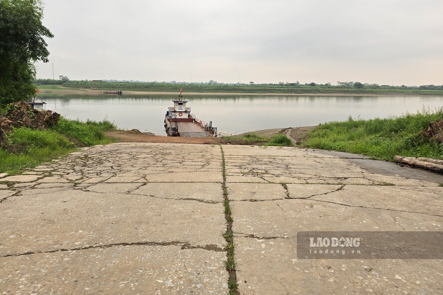
According to Mr. Tran Van Ton - owner of Tinh Cuong ferry/boat business establishment (connecting Hung Viet commune with Chi Tien commune), ferry/boat business activities face difficulties when the river is shallow, the establishment has to continuously reinforce the wharf to pick up and drop off passengers, costing more.
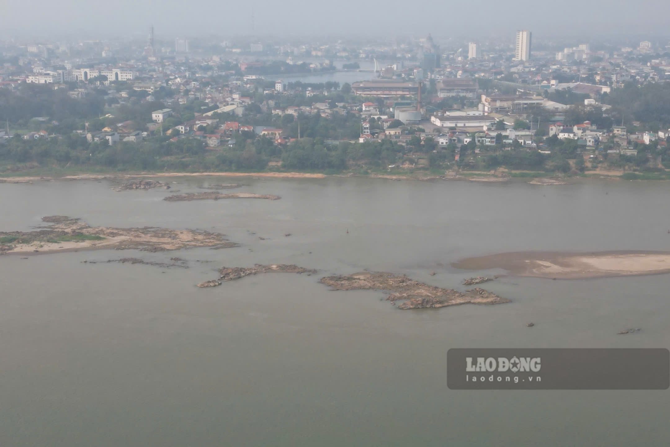
Downstream, the Red River flowing through Phu Tho province (old Viet Tri city area) and Hanoi (old Ba Vi district area) also dries up to the bottom, with countless underground reefs in the middle of the river, affecting waterway traffic.
Hydrology forecast from May - July 2026, water levels on major rivers in the North continue to fluctuate in a gradually decreasing trend in the second half of April 2026, from May onwards there will be fluctuations and the possibility of floods in June - July 2026.


