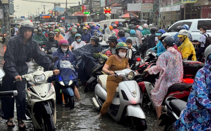
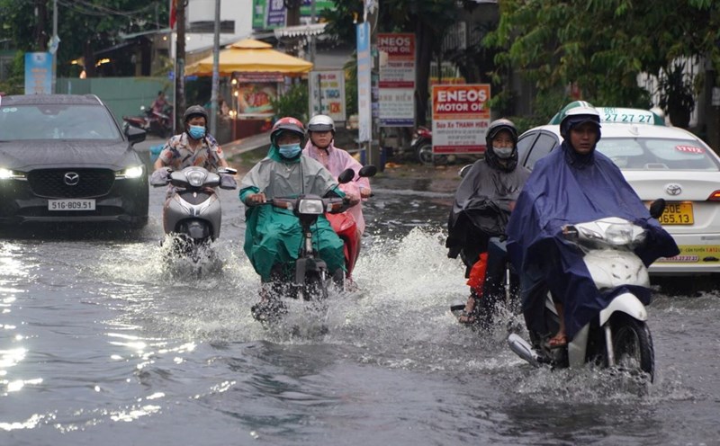
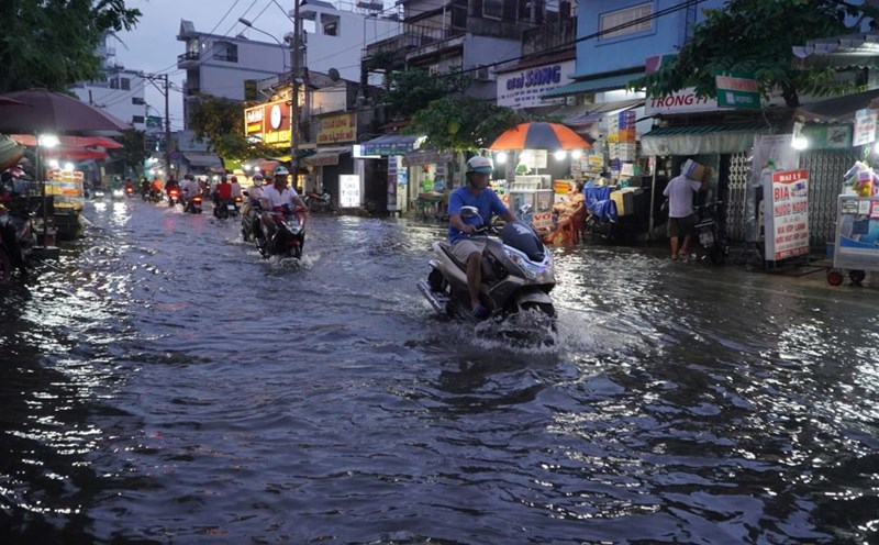
On November 13, monitoring satellite cloud images, lightning location images and radar images showed that convective clouds still existed and developed in the areas of Dong Nai, Ho Chi Minh City, and Ba Ria - Vung Tau.
In the next 0-3 hours, thunderstorms will continue to develop, causing showers, accompanied by thunderstorms and lightning in the above areas, then expanding to other neighboring areas.
Rainfall is generally 2-10 mm, with some places over 13 mm. During thunderstorms, beware of tornadoes, hail and strong gusts of wind of about level 5-7 (8-17 m/s).
The thunderstorms are caused by an equatorial low pressure trough with an axis at about 4-7 degrees north latitude. The tropical depression weakened by storm No. 7 continues to weaken. Storm No. 8 is active in the northern East Sea, mainly moving northwest.
Regarding high tides, water levels at most stations downstream of the Saigon - Dong Nai river system rose rapidly and at high levels.
Water levels at most stations in the downstream of the Saigon - Dong Nai River are likely to rise rapidly in the coming days following the high tide on October 15 (Lunar calendar). The highest peak tide during this period may occur on November 16-17.
This is a high tide period, so it is necessary to guard against flooding in low-lying areas and riverside areas, affecting traffic and socio-economic activities in the Ho Chi Minh City area.


