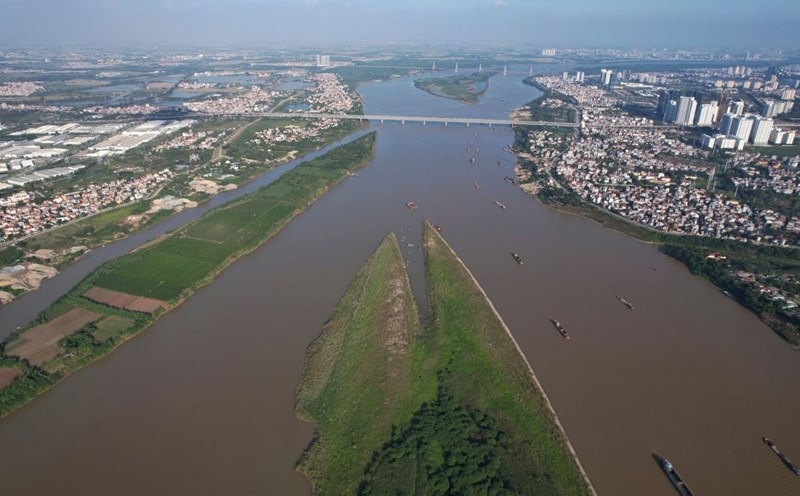
In 2024, the Red River and Lo River reached their flood peaks, even exceeding historical levels. However, entering the dry season, the water levels on the rivers dropped.
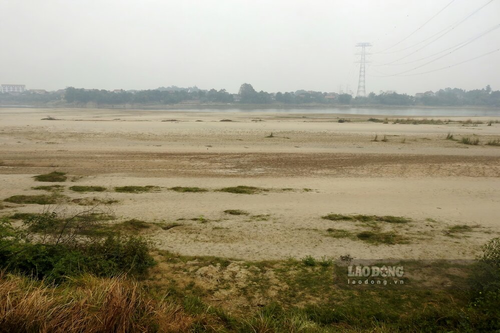
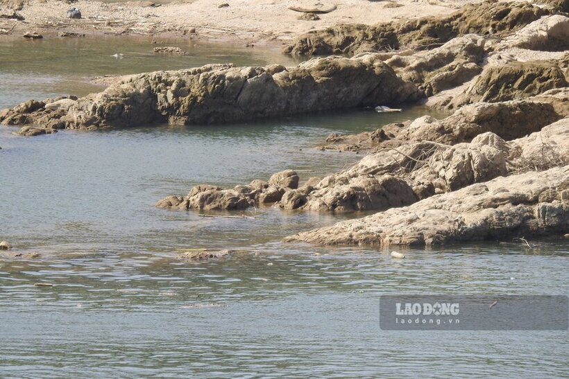
According to the reporter of Lao Dong Newspaper on the morning of January 18, the water level of the Red River was low, and it was easy to see many sand dunes emerging in the middle of the river. It can be seen that the sand dunes along the river were overgrown with grass, and the 'young' sand dunes in the middle of the river after the water receded were also starting to dry up.
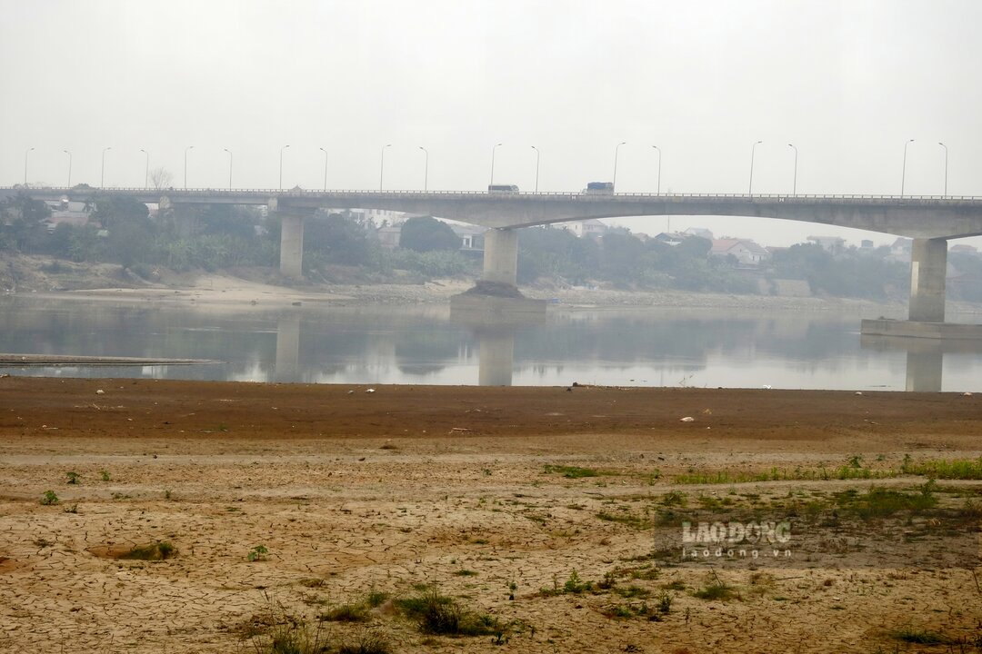
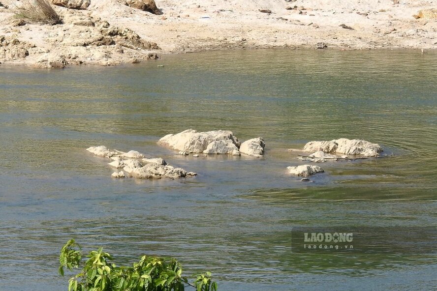
With the Lo River, although in the past week, the water level has risen more than 1 meter due to the release of water from upstream hydroelectric reservoirs to serve the 2025 spring crop production. However, very quickly, the water receded again, from the banks to the middle of the river, countless reefs were clearly visible.
According to the Short-term Hydrological Forecast and Warning Bulletin No. TVHN-18/DBQG dated January 18 of the National Center for Hydro-Meteorological Forecasting, the actual water level of the Red River measured at 1:00 a.m. this morning at Phu Tho station was 10.95 m, at 7:00 a.m. it was 10.91 m, and is forecasted to decrease to 10.85 m by 1:00 p.m. the same day...
Regarding the Lo River, the actual water level measured at 1:00 a.m. on January 18 at Vu Quang station (Doan Hung district, Phu Tho province) was 5.25 m, at 7:00 a.m. it was 5.12 m, and is forecasted to decrease to 5.10 m by 1:00 p.m. the same day...