
On August 8, Ms. Vi Thi Quyen - Secretary of the Party Committee of Muong Tip commune, Nghe An province said that heavy rain continuously in recent days has caused landslides in many locations on provincial road 543D.
At the section passing through Muong Tip village, a large amount of soil and rocks from the positive taluy slope fell down, blocking the road surface, making it impossible for vehicles to circulate.
Some embankment and rock cages built to prevent landslides before were also damaged and swept away by soil and rocks. This is identified as one of the serious landslide points in the area after the heavy rain.
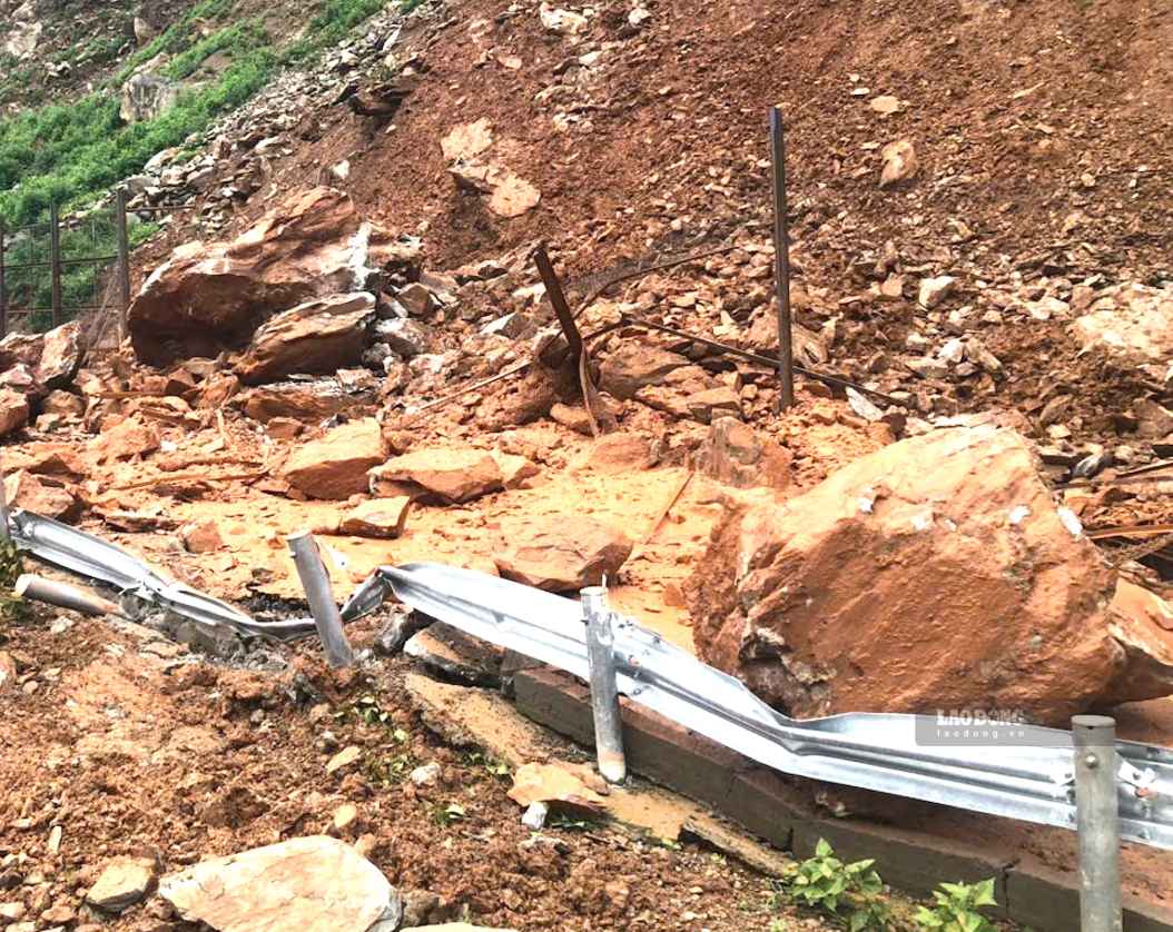
Landslides and rolling rocks also appeared scattered on provincial road 543D, a road more than 40km long connecting the Muong Xen area with Muong Tip commune.
Many sections are potentially unsafe for people and vehicles, especially in conditions where rain continues.
After the landslide occurred, functional forces and road management units mobilized machinery and equipment from Muong Xen direction to the scene to clear soil and rocks and clear the road surface.
However, the volume of soil and rock at the landslide point is large, while there are still many landslide locations along the route, so recovery work is difficult. Forces are focusing on handling to soon clear the route.
Muong Tip commune authorities recommend that people limit travel on provincial road 543D when heavy rain occurs, and at the same time monitor weather warnings and instructions from functional forces.
According to Ms. Vi Thi Quyen, at Km71+300, functional agencies have installed stone barriers at a section on the route. The project has initially been effective in limiting rock rolling onto the road surface.
However, the two ends of this area have not been installed with barriers. After heavy rains, rocks from the positive taluy can still fall onto the road, causing danger to people and vehicles.
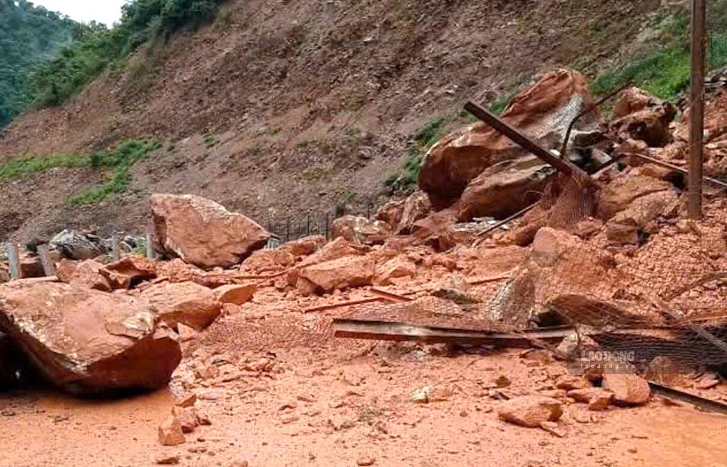
Muong Tip commune authorities proposed that competent authorities supplement stone barrier nets and repair damaged locations on provincial road 543D.
In addition to this route, the border patrol road from Vang Phao bridge to No Cha bridge, more than 32km long, also has many degraded and landslide points.
Some sections have landslides of positive taluy slopes, soil and rocks overflowing into the road surface; many locations have negative taluy landslides creating cavities, posing a risk of subsidence and damage to the roadbed. The road surface in some areas is peeling and muddy when it rains heavily.
The locality proposed that functional agencies inspect and allocate resources to repair, ensure traffic and serve patrols and protection of the border area.


