More than 5 months have passed since the last major flood on the Red River (Thao River) section passing through Lao Cai and Phu Tho provinces (late September, early October 2025), up to now the river water level has dropped low.
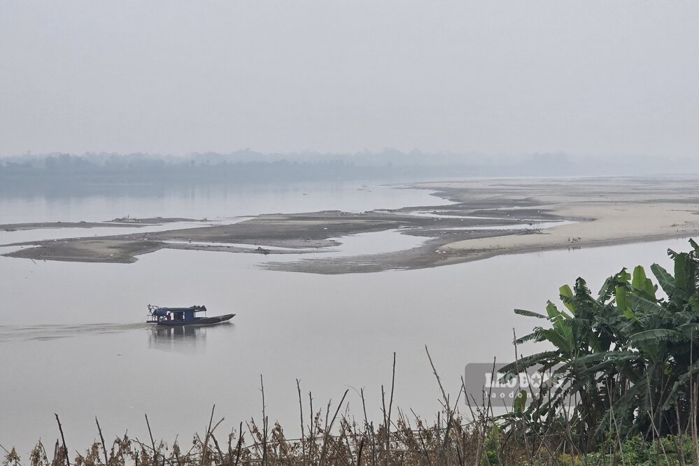
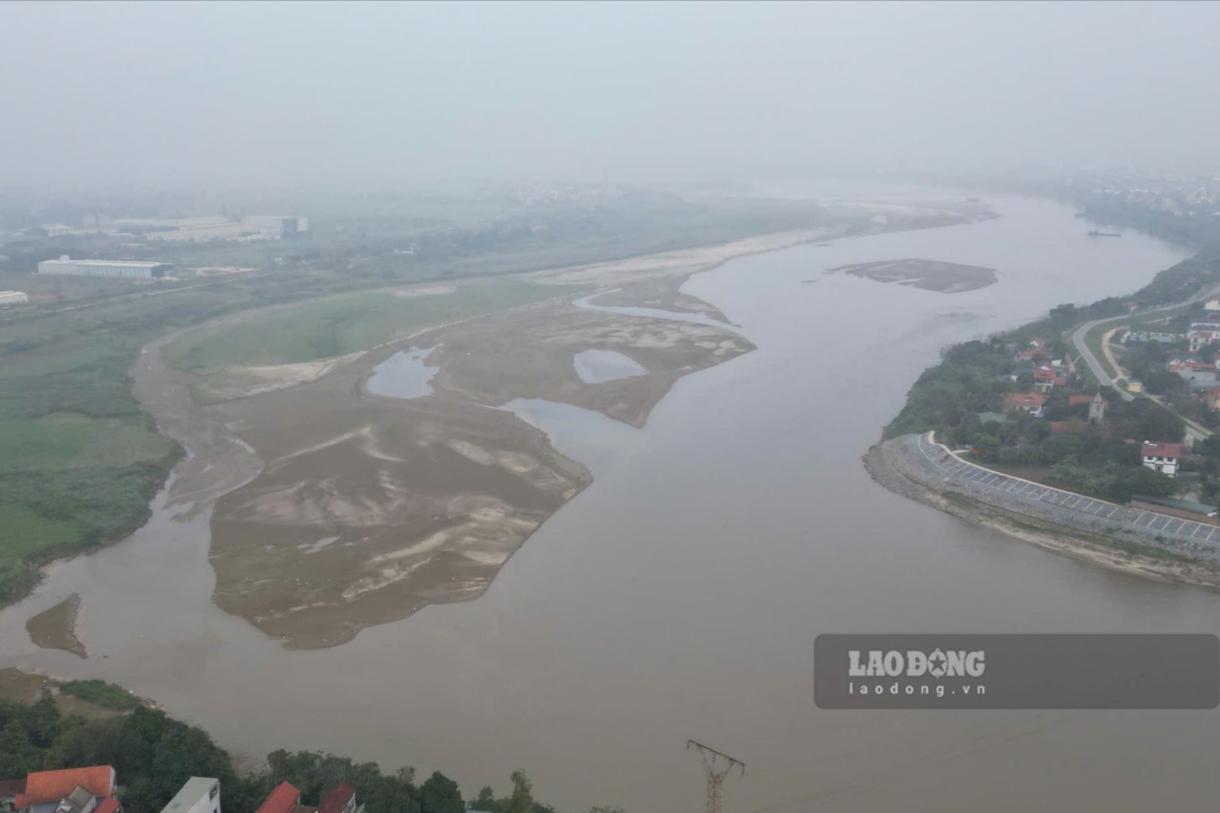
According to records of Lao Dong Newspaper reporters in mid-March, the Red River section passing through Phu Tho has dried up to the bottom. Along the river, it is easy to record countless alluvial grounds, giant sand dunes, and narrow rivers.
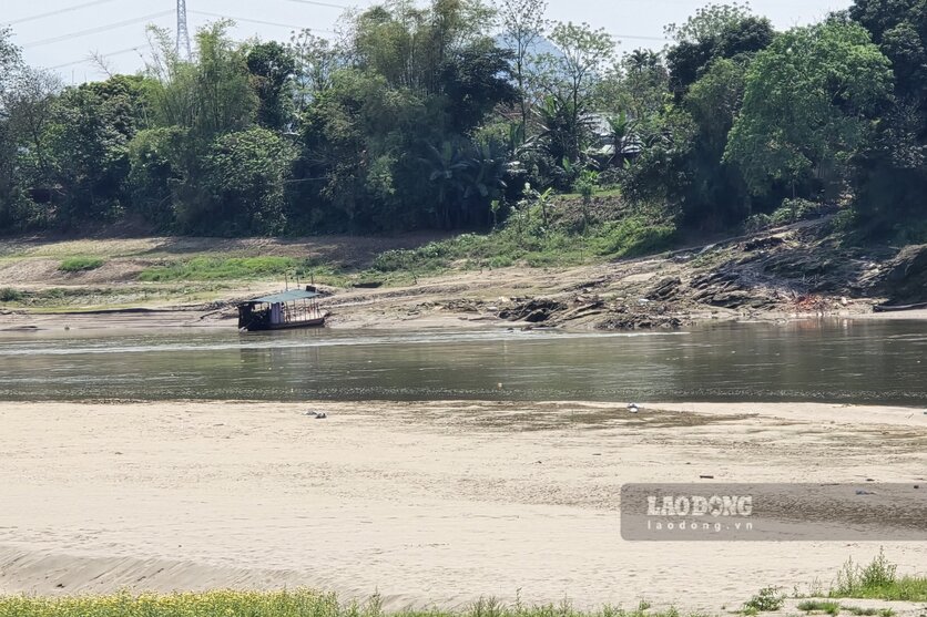
In some sections, the river flow is narrow and looks like a stream, at first glance it looks like it can be walked across. Here, the water is clear and peaceful, different from the image of a rolling, muddy river characteristic of the Red River.
According to a director of a sand mining site on the Red River, due to shallow river water, for many months now, the section from Phong Chau bridge upstream, the operation of sand-carrying boats has been paralyzed.
According to Mr. Tran Van Ton - owner of Tinh Cuong ferry wharf (connecting Hung Viet commune with Chi Tien commune, Phu Tho province), the Red River water drying also makes ferry/boat business difficult.
Firstly, it is affected by rising oil prices, secondly, because the river is shallow, the river becomes smaller and narrower, causing us to spend more on reinforcing other wharves to pick up and drop off passengers" - Mr. Ton shared.
According to the Medium-term Hydrometeorological Forecast and Warning Bulletin of the National Center for Hydro-Meteorological Forecasting, in the past 10 days, the water level of the Thao River at Phu Tho station averaged 10.89m, highest 11.53m, and lowest 10.39m.
It is forecasted that in 10 days (from March 11 to March 20), the water level of the Thao River at Phu Tho station will fluctuate slightly, averaging 10.85m, highest 11.50m, and lowest 10.50m.


