Horrific memory
On March 8, along the Red River bank from the Tuan Quan bridge area, reporters recorded contrasting scenes on both sides of the river. On the alluvial side, the alluvial layer after major storms has silted up a significant part of the riverside embankment system built before.
Ms. Le Thi Tan (76 years old, Yen Bai ward) said that although she has lived by the Red River for more than 70 years, the floods in 2024 and 2025 are still haunting memories.
My house still has a 2nd floor to go up to avoid floods, otherwise I don't know how to manage. After the water receded, the newly built embankment section more than 2 years ago was buried with alluvium. People now go out to clear grass and take advantage of the land to grow crops to reduce waste," Ms. Tan said.
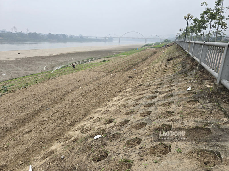
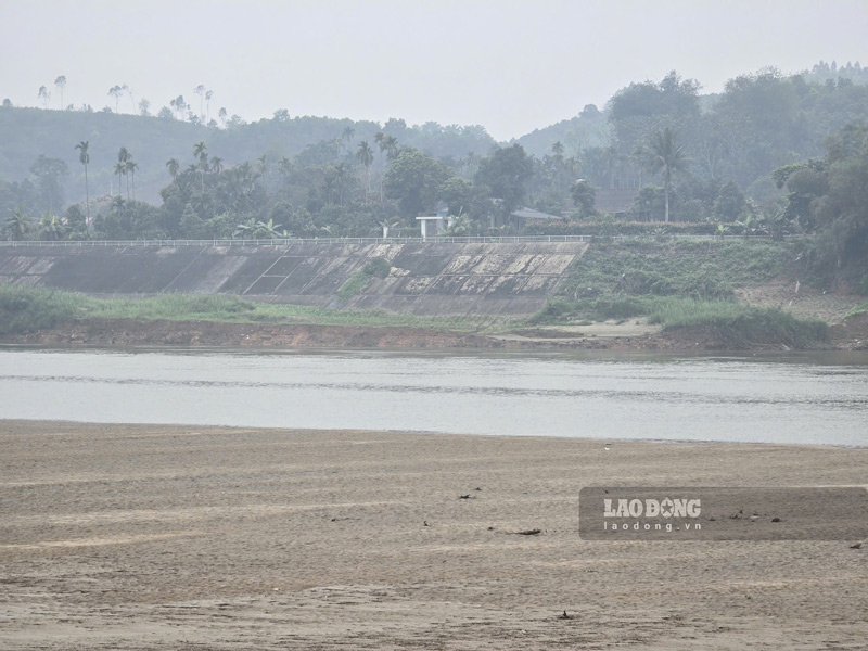
Standing at the foot of Gioi Phien bridge, Ms. Tan pointed to the bank extending to near Bach Lam bridge, saying that this area was previously invested in building flood prevention embankments to protect the riverbank. However, after major storms, the amount of alluvium deposited has filled almost the entire old embankment.
The province and the central government have built embankments many times, but floods are now getting bigger and bigger. To prevent water from overflowing into people's houses, it is probably necessary to build higher heights," she shared.
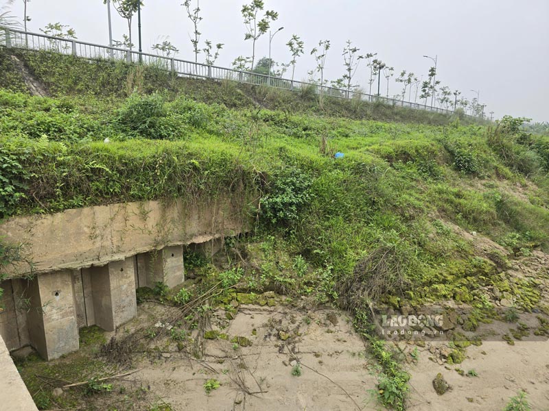
On the opposite bank of the river, water is eroding deeply every day, patches of sand and crops on top of the people are about to fall into the large riverbed. After each natural disaster, both banks of the Red River become desolate.

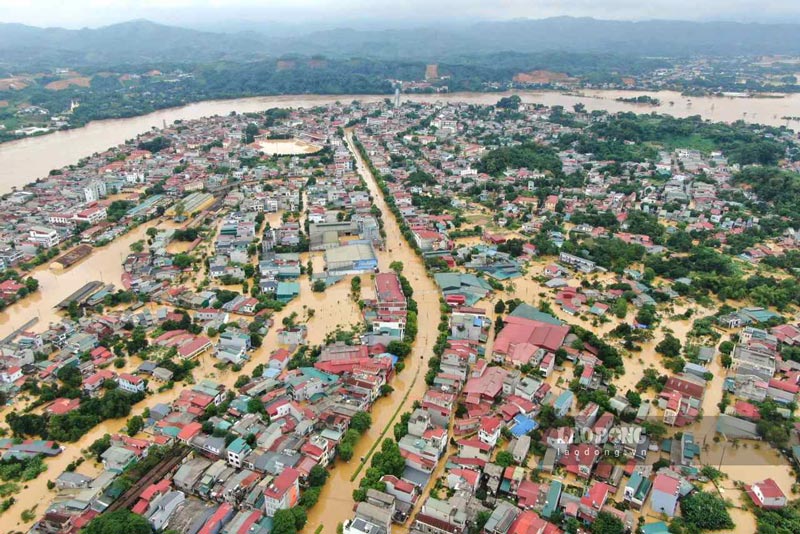
In just two years 2024 - 2025, storms Yagi and Bualoi killed more than 210 people, property damage in the two old economic spaces amounted to about 15,500 billion VND.
Treating water "in favor of heaven
In February 2026, the Lao Cai Provincial People's Council approved a resolution approving the investment policy for a key project to treat the Red River water, in order to overcome the flooding situation in the Red River riverside area in the urban center and surrounding areas.
Representatives of the Construction Investment Project Management Board No. 1 of Lao Cai province said that the project has a total investment of about 13,269 billion VND, with a length of about 33 km.
Initially, the project's capital was only about 8,500 billion VND, but this is the calculated figure for the flood peak of 2008.
Currently, after experiencing the historic flood peak caused by Typhoon Yagi (2024), the provincial specialized agencies have decided to upgrade and extend the flood prevention dyke system, thereby leading to increased costs.
The project scope passes through Yen Bai, Nam Cuong, Au Lau, Van Phu wards and Tran Yen commune, covering the urban strip and important ecological belt of the locality. The expected implementation time is 6 years, from 2026 to the end of 2031.
Ms. Hoang Thi Loan (Au Lau ward) said that people living along the river are very much looking forward to the project being implemented soon.
Living next to the river, we are very afraid of flooding. If the province builds a new flood prevention project, people will completely support it," Ms. Loan said.


According to the project's orientation, water treatment is not only limited to building dykes and embankments to prevent floods, but also aims to clear the flow according to the principle of "favorable weather", creating a sustainable flood drainage space.
The space on both sides of the Red River will also be synchronously renovated, both creating land funds for the development of safe urban areas and residential areas, and forming green landscape strips to serve community activities.
The project is expected to recover and convert about 82 hectares of various types of land; and at the same time handle about 27 hectares of old canal land and 12 hectares of other land, in order to expand flood drainage space for the river.


