The water level in many rivers and canals is forecast to reach level II to level III warning levels, even exceeding 1.5 meters at low-lying areas.
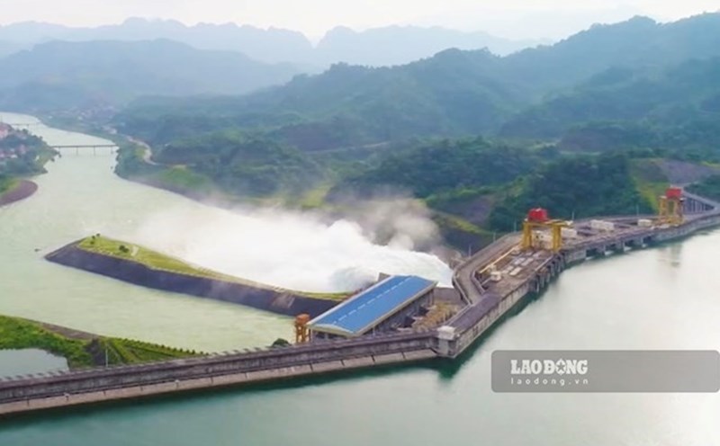
According to information from the Tay Ninh Meteorological and Hydrological Agency, on the morning of October 9, the water level in the middle and lower reaches of the Vam Co Dong, Vam Co Tay rivers and Ben Da canals is rising rapidly. The main cause is water flowing in from upstream, combined with heavy rain on the spot and high tides. The peak tide in the coming days is forecast to be the highest level of the year, causing widespread risk of deep flooding.
Localities identified as being in high-risk areas include: Duong Minh Chau, Trang Bang, Tan Bien, Phuoc Vinh, Hoa Hoi, Ninh Dien, Long Thuan, along with some old low-lying areas of Long An such as Can Duoc, Can Giuoc, Chau Thanh, Tan Tru, Ben Luc, Tuyen Nhon, Duc Hoa, Tan Thanh and Moc Hoa. The water level is expected to range from 1.2 to 1.5 meters, with a peak concentration in the period of October 8-10.
Local authorities have raised the flood disaster warning level to level 2, recommending local authorities and people to implement preventive measures. Activities that need to be focused on include reinforcing dykes, protecting low-lying areas, alluvial plains and fruit growing areas, to limit damage caused by rising water.