
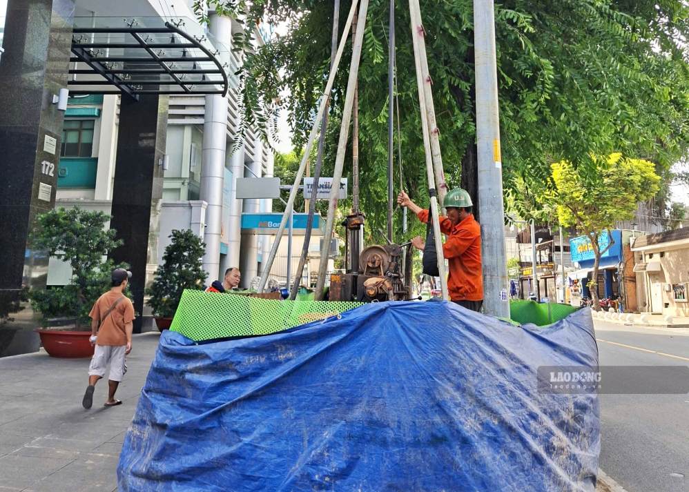
On the morning of August 2nd, on the sidewalk of Hai Ba Trung street (Saigon ward), a group of workers and specialized drilling machines continuously worked to take soil samples at different depths.
Geological samples after collection will be analyzed to determine stratigraphic characteristics, load-bearing capacity of the soil foundation and geological conditions of works along the route.
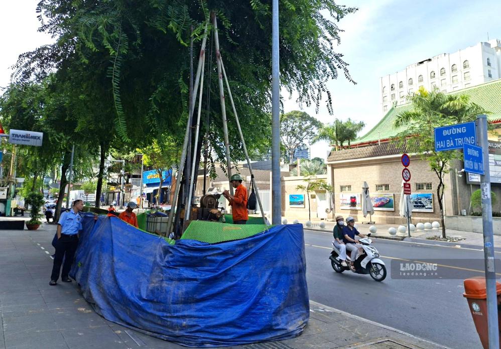
Geological surveys are one of the first items but have decisive significance for the design and construction of the metro line.
The survey results will help the consulting unit choose appropriate technical solutions for each section of the route, especially underground sections through the central area and locations with complex geological conditions.
According to the plan, the pre-feasibility study report of Metro Line 4 project will be submitted to competent authorities for approval this year in the form of public-private partnership (PPP).
According to research, Metro Line 4 has a length of about 43 km, of which about 18.2 km is underground and 24.8 km is elevated. The entire line is expected to have 30 stations, including 13 underground stations and 17 elevated stations.
The line is designed according to modern urban railway standards with double standard gauge 1.435 mm, using electrification. The maximum design speed reaches 120 km/h on elevated sections and 90 km/h for underground sections.
Metro line No. 4 starts at Cau Sang station (Dong Thanh commune) and ends at Hiep Phuoc station (Hiep Phuoc commune). This is one of the important radial metro lines of Ho Chi Minh City, connecting the Northern area, the city center with Hiep Phuoc port city in the South.
The entire route passes through 22 wards and communes including: Dong Thanh, Thoi An, An Phu Dong, An Nhon, Go Vap, Hanh Thong, Tan Son, Tan Son Hoa, Tan Son Nhat, Duc Nhuan, Phu Nhuan, Cau Kieu, Tan Dinh, Xuan Hoa, Saigon, Ben Thanh, Cau Ong Lanh, Vinh Hoi, Khanh Hoi, Tan Hung, Nha Be and Hiep Phuoc.
Regarding the route direction, Metro Line 4 mainly follows existing and planned traffic axes including: planned roads in Dong Thanh and Thanh Xuan communes - Ha Huy Giap - Nguyen Oanh - Truong Son road - Nguyen Van Troi - Hai Ba Trung - Le Loi - Tran Hung Dao - De Tham - Khanh Hoi - Nguyen Huu Tho - planned roads in Hiep Phuoc commune.
Notably, the route will go underground through the central area of Ho Chi Minh City along the axes Nguyen Van Troi - Hai Ba Trung - Pasteur - Le Loi - De Tham - Khanh Hoi - Nguyen Huu Tho.
This is an area densely concentrated with office buildings, commercial centers, hospitals and has a very high traffic density, while the cross-section of many roads is quite narrow. Therefore, the underground option is considered optimal, both limiting the impact on urban traffic and ensuring long-term transport capacity.
Metro No. 4 will also be directly connected to Ben Thanh station - the most important transshipment hub of the Ho Chi Minh City urban railway network. This connection takes advantage of the underground space that has been prepared since Metro No. 1 (Ben Thanh - Suoi Tien) was built, contributing to the formation of an interconnected public transport network in the future.
In addition, Metro Line No. 4 is also planned to connect with Metro Line No. 6 phase 1 (Tan Son Nhat - Phu Huu) right under terminal clusters T1 and T2 of Tan Son Nhat airport.


