
Real-world records show that on many roads such as Nguyen Thi Minh Khai, Cach Mang Thang Tam, Dien Bien Phu..., thunderstorms appeared while the weather was still sunny.
At many times, the sky in the distance appeared dense black clouds, accompanied by continuous thunder and lightning. The phenomenon of "interspersed rain and sunshine" caused many difficulties for road users, many people had to rush to find shelter or wear raincoats in the midst of sudden weather changes.
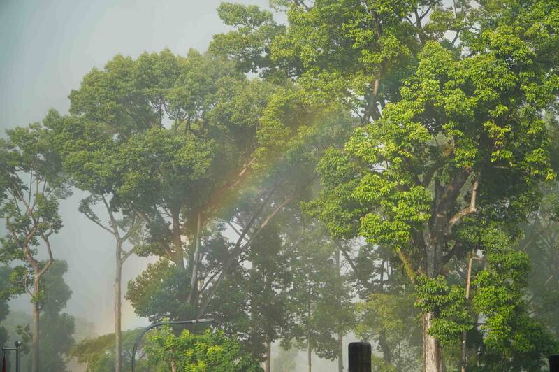
Monitoring on satellite cloud images, weather radar and lightning positioning shows that convective clouds are developing strongly, causing rain with thunderstorms and lightning in many areas in Ho Chi Minh City such as Tan Dinh, Ben Thanh, Cau Ong Lanh, Cho Quan, Binh Tien, Tan My, Phu Dinh, Hoa Hung, Binh Thanh, Binh Loi Trung, Thanh My Tay, Binh Quoi, Phu Nhuan, Hiep Binh, Long Binh, Binh Trung, An Khanh, Dong Hoa wards and Thanh An, Binh Chau and Hoa Hiep communes.
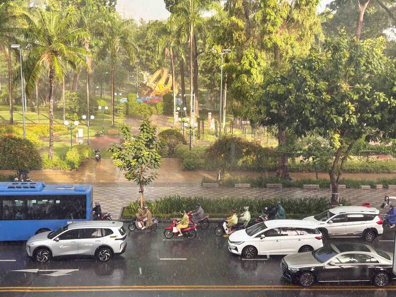
In the next 3 hours, thunderstorms will continue to develop, causing showers and thunderstorms in the above-mentioned areas, then it is likely to expand to nearby areas. Common rainfall is from 10-50 mm, in some places over 60 mm.
People need to be wary of dangerous weather phenomena during thunderstorms such as tornadoes, lightning, hail and strong gusts of wind at level 5-7 (8-17 m/s). Heavy rain can also cause localized flooding on many low-lying roads.
According to the Southern Hydrometeorological Station, the weather pattern causing thunderstorms is due to convergence of upper-level winds combined with southwest winds operating with weak to moderate intensity in the Southern sea area.


