Accordingly, all people and vehicles are prohibited from traveling through Chiem Hoa bridge at Km 241+887 on National Highway 3B (Chiem Hoa commune) and the section at Km 63+600 - Km 63+700 on National Highway 34 (Bac Me Hydropower Plant, Bac Me commune).
For Chiem Hoa bridge at Km 241+887, National Highway 3B, vehicles from Minh Xuan ward to Chiem Hoa commune and vice versa will follow National Highway 2 to Km 166+360, turn right onto National Highway 3B towards Chiem Hoa commune. At the Chiem Hoa bridgehead intersection, turn left onto DT.188 to Lam Binh, Na Hang and vice versa.

For the section of National Highway 34 Km 63+600 - Km 63+700 (Bac Me Hydropower Plant), vehicles from Ha Giang 2 Ward to Bao Lam Commune (Cao Bang) and vice versa will travel along National Highway 4C, through Quan Ba, Yen Minh, Meo Vac to Bao Lam.
Directions from the center of Bac Me and Ngoc Duong communes (Tuyen Quang) to Bao Lam commune (Cao Bang) and vice versa, vehicles traveling from Bac Me and Ngoc Duong communes to Km 31+800, National Highway 34 turn onto Provincial Road DT.176B to Km73, continue along Provincial Road DT.176 to National Highway 4C and go to Bao Lam commune and vice versa.
The traffic diversion will be implemented from October 1 until further notice.
On the morning of October 1, according to the Tuyen Quang Hydrometeorological and Hydrological Station, heavy rain for many days has caused the soil structure to be saturated, above the saturated level. There are 41 communes and wards recorded in key areas of flash floods and landslides.
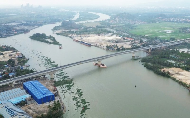
At 7:00 a.m. on October 1, the water level on the Lo River at Ha Giang station was 105.48m, above alert level 3 by 2.48m; Bac Quang station was 70.52m, below alert level 2 by 0.48m; Vinh Tuy station was 47.41m, 0.41m above alert level 1 by 0.41m; Ham Yen station was 33.1m, 0.1m above alert level 2; Tuyen Quang station was 25.07m, 0.93m below alert level 3.
It is forecasted that in the next 3 - 6 hours, the water level of the Lo and Gam rivers will continue to rise, the highest water level will be at alert level 2, alert level 3, at Tuyen Quang Hydrological Station, the highest water level will be about 25.5m. The water level of the Gam River is changing slowly and is above alert level 3.