
Thanh Tri commune is implementing a 45-day peak campaign on surveying, mapping cadastral maps, land registration, preparing cadastral records and building a national database on land in the area.
During this peak period, the commune focuses on reviewing, collecting and standardizing all existing cadastral records; completing surveying and mapping of cadastral maps for agricultural land areas, interspersed land and areas lacking cadastral maps, ensuring that the government cadastral map covers the entire natural area of the commune.
At the same time, localities promote digitization of dossiers, build and complete cadastral databases, enrich land data; update land registration changes, standardize information on land users according to personal identification codes; effectively use existing documents, dossiers, and maps to edit and update data, avoiding duplication and waste.
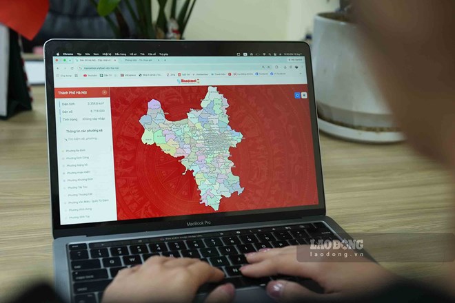
The results of surveying and preparing cadastral records will be immediately put into management, operation and exploitation, effectively serving state management as well as resolving administrative procedures on land for people and businesses. Data after being standardized will be updated regularly, continuously and synchronously in real time, ensuring that all land plots are fully registered in the land database.
According to statistics, there are currently 11,562 land plots in the VILIS software in the commune that are included in the extracted data for cleaning. Of which, there are 8,576 non-agricultural land plots and 2,986 agricultural land plots.
To date, the locality has cleaned data for 5,460/8,576 non-agricultural land plots, reaching 64%; has scanned 9,862 dossiers, verified 10,582 land users and spatial links for 5,917 land plots.
The commune strives to focus on completing the land plots already in the database by July 30, 2026, including the contents that still need to be implemented regarding scanning dossiers, land user attributes and spatial links according to the appendix assigned by the Department of Agriculture and Environment.
By August 30, 2026, the locality will continue to complete areas and dossiers that are still problematic, areas that are being measured, revised, and supplemented; and at the same time summarize and report on the results of the peak period and maintain regular updates after the end of the campaign.
To achieve the set goals of the campaign, the coordination between specialized agencies, Thanh Tri Branch of the Land Registration Office, the Police force, villages and related units has been deployed synchronously, from digitizing cadastral records, verifying land user information with the National Population Database to propagating and mobilizing people to provide records and documents; strengthening inspection and supervision and promptly removing arising difficulties and obstacles.
To serve the 45-day plan to complete the land database, Chuong My Ward People's Committee has also established 7 working groups in charge of 21 residential groups to synchronously deploy tasks, determined to complete the land database in accordance with the city's direction.
To ensure that the campaign achieves high results, Chuong My Ward People's Committee requests each household and individual to fully prepare documents related to the land plot being used, including:
For land plots that have been granted Certificates: Prepare Certificates of residential land use rights or Certificates of agricultural land use rights.
For land plots that have not been granted Certificates: Prepare purchase and sale documents, transfer of land use rights and other related documents (if any).
Prepare the Citizen Identity Card of land users to serve information comparison.
The Ward People's Committee affirmed that all information and documents provided by people will be absolutely confidential, and will only be used for state management work according to the provisions of law.


