The Hanoi Department of Agriculture and Environment is implementing the 45-day peak plan to complete the land database. This is a key task to improve the efficiency of State management, promote digital transformation in the land sector and serve people and businesses better and better.
The 45-day peak period is identified as an acceleration phase to focus on enriching and cleaning data, ensuring that the city's land database is complete, accurate, synchronous and can be effectively exploited.
To implement this, the People's Committees of communes and wards of Hanoi have established a working group to assist in implementing the 45-day Campaign to build and complete the land database.
Talking to Lao Dong Newspaper, a representative of the Economic, Infrastructure and Urban Department of Long Bien ward said: "We are implementing a 45-day plan to complete the land database. The new data system will help ensure that all land plots are registered and fully updated, creating a platform for the operation of state management in real time.
When completed, the system will create favorable conditions for people and businesses to carry out administrative procedures on land quickly, transparently, and reduce inconvenience through the interconnected connection between notary agencies - land - tax".
When asked about people having to photocopy land use right certificates, while they had previously done it once in the 90-day land data cleanup campaign, whether the collected data is still usable and why they continue to require people to photocopy land use right certificates and citizen identification cards, a representative of the Economic, Infrastructure and Urban Department of Long Bien ward said that not every case has to be photocopied.
According to the unit representative, based on the dossiers that have been collected, scanned and digitized before, in cases where there are full data, the information fields in the scanned dossier and spatial data (including information on the red book, citizen identification card and land plot location) are all matched, there will be no photocopying.
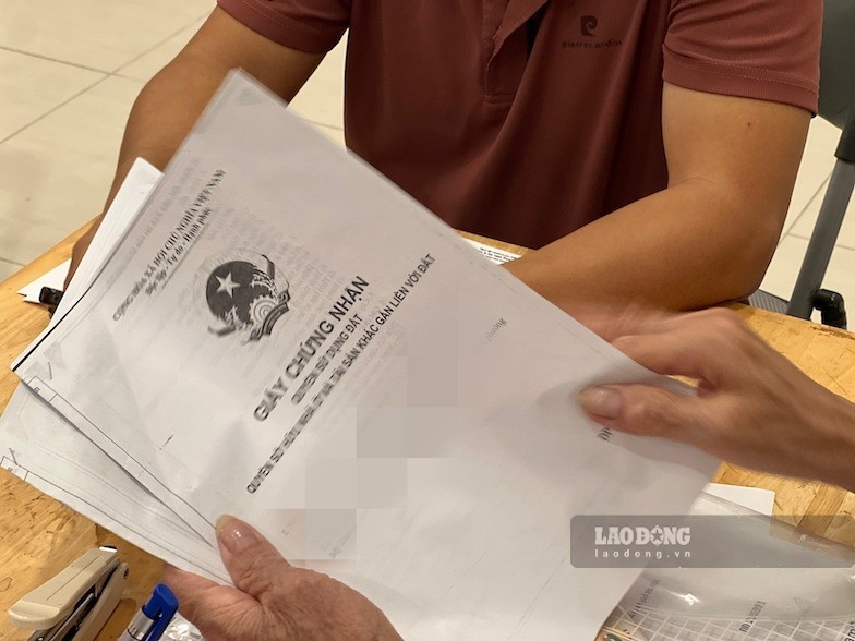
For cases where information is still missing in the dossier, supplementation is necessary. For example, previously, 9-digit identity cards, now switched to 12-digit citizen identification cards, must update new information and confirm that the users of the 9-digit identity card and 12-digit citizen identification cards are the same person. This is also the reason why the Police force participates in coordination in the review process.
We are reviewing all the records that people have provided before. Records with full information fields will be used.
However, there are cases where people previously provided dossiers but have now transferred land use rights; there are cases where dossiers are still missing... Therefore, we must screen all these contents.
Currently, working groups must go to the field for each land plot to verify, compare and review all information according to the records provided by the people," said a representative of the Economic, Infrastructure and Urban Department of Long Bien ward.
According to a representative of the Economic, Infrastructure and Urban Department of Long Bien ward, the construction of a land database has been implemented before. However, the main unit according to the assignment is the Land Registration Office.
In phase one, the locality organized the collection of dossiers and transferred them to the Land Registration Office to carry out scanning, digitizing dossiers and linking spatial data. However, the implementation progress is still slow, leading to a low rate of updating and cleaning up land data.
Therefore, currently communes and wards must directly get involved," said the representative of the Economic, Infrastructure and Urban Department of Long Bien ward.
For cases of red books being mortgaged at banks, representatives of the Economic, Infrastructure and Urban Department of Long Bien ward said that if the certificate is still in the name of the land user, the Land Registration Office will update the legal status of the land plot, such as being mortgaged or carrying out other transactions.
We are required to go directly to each area, each household to verify and compare information. We are waiting for the Land Registration Office to issue an account to update data for each land plot. The ward has established 25 working groups, and at the same time established a Steering Committee to implement this task," said a representative of the Economic, Infrastructure and Urban Department of Long Bien ward.