
From July 10 to now, regardless of day or night, cultural houses in Kieu Phu commune, Hanoi are always brightly lit. Inside, the working atmosphere of the working groups implementing the 45-day campaign to clean up land data is taking place urgently and continuously.
This is one of the key tasks of the locality to accelerate the progress of building a synchronous and unified land database, thereby creating a platform to serve digital transformation in the field of land management.
On the computer screen, each land plot is displayed in turn through the "Digital Land Plot" application.
Land administration officials coordinate with working groups to compare information recorded on the Certificate of Land Use Rights with digital data; scan the citizen identification card of land users; accurately determine the location of the land plot on the digital map; and at the same time update and synchronize data to the VILIS system according to the correct procedures.
Each dossier, each land plot is seriously and meticulously reviewed by working groups to ensure the accuracy, completeness and consistency of the database.
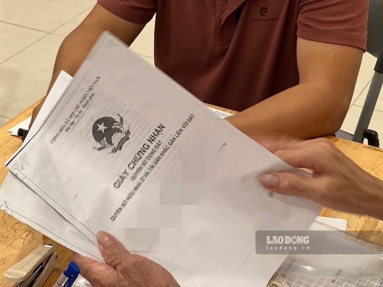
Not only setting a goal to complete the progress according to the plan, Kieu Phu commune also identified data quality as a key factor, aiming to build a database that meets the standards of "correct, sufficient, clean, live", meeting the requirements of state management, providing online public services and resolving administrative procedures in the digital environment.
Although the workload is very large and the implementation time is tight, many officials still proactively work outside of office hours, taking advantage of both evenings and holidays to review, compare, update, and standardize information, ensuring the progress of the campaign.
The synchronous mobilization of forces, while effectively applying digital technology in the process of checking, verifying and updating data, has contributed to accelerating progress, minimizing errors, and gradually forming a unified and synchronous land database throughout the area.
However, in the process of implementation, working groups in some villages still encountered many difficulties and obstacles. Pushing information to the system is sometimes interrupted due to transmission lines. Many Certificates of Land Use Rights issued from 2004 and earlier must be compared with two-level maps to get information before entering data into the system.
Along with that, many households no longer keep the original Certificate of Land Use Rights because the documents are being mortgaged at the bank. These issues make the process of checking, comparing and updating information take more time, requiring working groups to implement cautiously and strictly for each specific case.
Accelerating the progress of clearing land data not only contributes to completing data infrastructure to serve state management but also has important significance in the digital transformation process of local authorities.
When completed, the land database will become a platform to serve planning, resource management, and quickly and transparently resolve administrative procedures; and at the same time create favorable conditions for people and businesses to access public services in the land sector, contributing to building digital government, digital economy and digital society in Kieu Phu commune.
To make the campaign effective in substance, Huong Son Commune People's Committee requests households, individuals, organizations and businesses in the area to actively coordinate with working groups in the process of reviewing, collecting and updating land data.
Accordingly, land users need to proactively provide copies or create conditions for members of the Task Force to scan and scan Land Use Right Certificates, citizen identification cards and documents related to the origin of land use as required. The full and timely coordination of people and organizations is identified as one of the important factors, contributing to ensuring the accuracy and synchronization of data after being updated to the system.
For land plots that have not been granted Land Use Right Certificates, the Commune People's Committee requests people to urgently carry out initial land declaration and registration according to the guidance of professional officials. At the same time, people are encouraged to use the VNeID application to provide information and photocopies of Land Use Right Certificates according to the guidance, thereby contributing to shortening the time to collect dossiers and speeding up the process of digitizing land data in the area.
In the process of implementation, the commune's working groups will conduct reviews according to the motto "going through each alley, knocking on each house, checking each person", ensuring no cases are missed. All land plots in the area, including residential land, agricultural land and non-agricultural land, must be inspected, identified, positioned, and accurately identified, and fully updated on cadastral maps and land database systems.
According to the plan, the completion and cleaning of data for land plots with information in the database must be completed before July 30, 2026. For the remaining areas without data, the collection, review and update will be completed before August 30, 2026.


