Planning many connecting traffic routes
On March 27, the People's Committee of Dong Nai province decided to approve the detailed urban planning task at a scale of 1/500 of Hiep Hoa Urban Area in Hiep Hoa Ward, Bien Hoa City.
The goal of planning this urban area is to serve as a legal basis for management of construction investment, establishing investment projects and granting construction permits. At the same time, investing in building an urban area that harmoniously combines traditional and modern values contributes to building a new image of the iconic Pho Islet of Bien Hoa cultural city.
Accordingly, the organization of architectural space and landscape is oriented with 2 areas to create highlights including the area north of branch road 1 with maximum height of 18-25 floors and the intersection between branch road 1 and Dang Van Tron street (the foot of An Hao bridge) with maximum height of 18 floors.
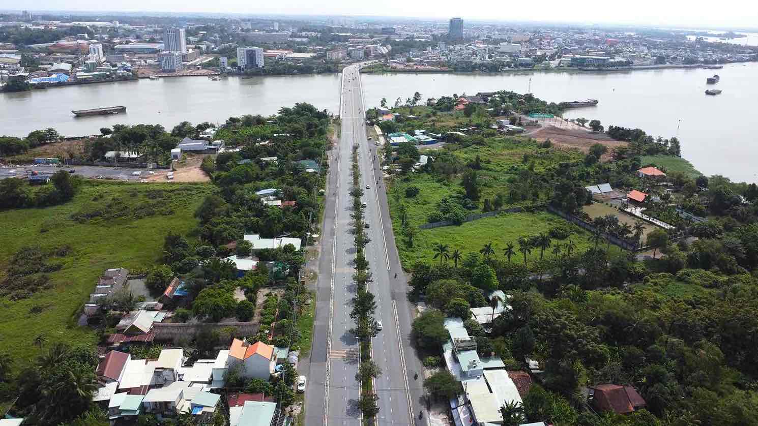
Dang Van Tron Street, D1 and D2 Streets take on the role of urban main roads, connecting the planning with Bien Hoa City. The system of regional and internal routes starts from these main roads, forming a network of checkpoint routes, connecting functional areas of the city.
Regarding the planning of the transport network in the area, it is necessary to ensure compliance with the approved traffic system planning at a scale of 1/5000 of sub-area A4 in Hiep Hoa ward.
Railway line No. 1 connects Bien Hoa airport to the provincial administrative center.
The waterway will exploit the waterway traffic route along the Dong Nai and Cai rivers to meet the needs of transporting goods, passengers and tourism through dredging and renovating the channel.
Urban traffic includes a system of main routes identified from the A4 subdivision planning and the starting point of DT 771 road, the bridge connecting Bien Hoa airport to the provincial administrative center (converting the function of Bien Hoa Industrial Park 1) according to the orientation from the Dong Nai provincial planning project.
The water source for the planning area is from the water supply pipeline on Dang Van Tron Street.
The power supply for the planning area is provided from the Bien Hoa 110/220kV transformer station, the existing Dong Nai 110kV transformer station and the Hiep Hoa 110kV transformer station in the future after the project is invested and energized.
The project's rainwater and wastewater drainage system ensures compliance with the general planning of Bien Hoa City, zoning planning, ensuring that drainage does not cause flooding in the surrounding area when the project comes into operation...
Social housing accounts for 20% of the total project area
Regarding land indicators, commercial housing land includes low-rise housing and high-rise housing, social housing land with a total expected area of 20% of the total project area (excluding resettlement land).
In addition, there are indicators on public service land, green park land, canals, water surface land, traffic land, etc.
The planning organizer is Dong Nai Sun Investment and Development Company Limited from the investor's capital.
Hiep Hoa urban area has an area of nearly 293 hectares, with a population of 31,600 people.
The Hiep Hoa Urban Area Project has a total investment of more than 72,000 billion VND. The project will reclaim more than 290 hectares of land from 1,692 households and individuals/3,079 plots of land.