When we start planning and building Hanoi Capital with a hundred-year vision, perhaps the important thing is not exactly what to build, where, how, but to listen to what the river and earth want to tell us.
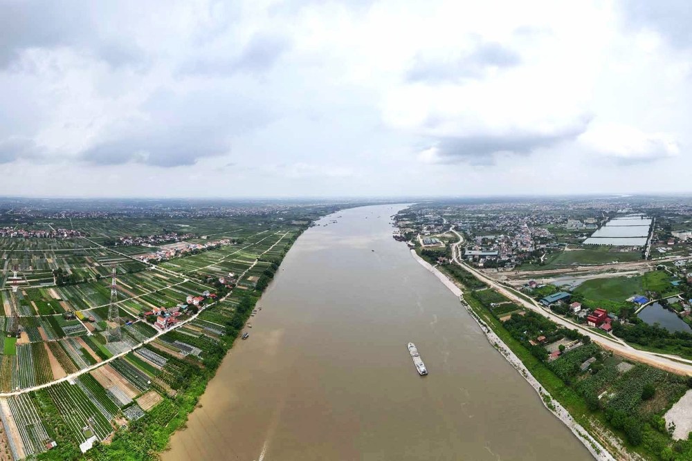
Hanoi must take the Red River as the main ecological and cultural landscape axis
Resolution No. 02 of the Politburo just signed and promulgated by General Secretary To Lam emphasizes the viewpoint of developing Hanoi Capital in the coming time in the direction of Hanoi Capital master plan with a 100-year long-term vision, stable according to open development space, urban structure "multi-layered, multi-layered, multi-polar, multi-center", taking the Red River as the main ecological and cultural landscape axis; closely linked with the Capital region, the Red River Delta region, the Northern Midlands and Mountains region and national and international economic corridors.
Composite" created underground in the Capital
Perhaps not many people know that under the fertile alluvium of the Red River Delta, or the Red River Delta, there is an extremely complex soil foundation. Under the prism of geology, the soil of Hanoi is not a static homogeneous mass. The Red River is actually flowing along a giant deep fault zone, but it is not just a single cut. It is a network of large "cracks", parallel to the Northwest - Southeast, interwoven with symbiotic faults of the Northeast - Southwest.
This intersection has "cut" the foundation of the Red River Delta into separate geological blocks like a mosaic. Some blocks are gradually sinking, some are more stable, and even some are rising, but the general trend is to gradually sink towards the center, where the Red River is flowing, and towards the sea. Each piece has a "breathing" rhythm - that is, the amplitude of rise and fall - completely different and if not carefully calculated, the uneven subsidence between these blocks will be the cause of structural cracks or later infrastructure deformities.
The Red River fault is still moving and earthquakes from 6.0 to 6.7 on the Richter scale that scientists warn are a reminder that we should "walk lightly, speak softly" when touching this sensitive area, which are "natural boundaries" that any high-rise or super-heavy structure needs to examine before laying the foundation.
The writer of this article once had the opportunity to work with a US Geological Survey expert, the organization that monitors and supervises earthquakes on a global scale, and he said that for more than 300 years there has been no major earthquake along the deep Red River fault zone. It may have been dormant but it is entirely possible that it is accumulating energy to prepare for a major eruption. And this second possibility seems more likely, because the Red River fault is the section stretching from the Himalayas, where the Indian continent is still bumping into the Eurasian continent every day, every hour.
When the river needs space to "breathe
The sudden appearance of "sinkholes" or cracks in urban areas, high-rise buildings... recently are signs that cannot be ignored. That is the consequence of the change in ground pressure when the urban load increases in the context of sensitive geology - hydrology and fluctuating groundwater levels, especially due to pumping and suction being much larger than the natural replenishment capacity.
Some preliminary estimates have shown a thought-provoking reality: the ancient Thang Long Imperial Citadel area recorded a subsidence level of about 5m compared to the starting point more than 1,000 years ago, which is about 5mm/year. These are very sensitive issues that any planning for the next 100 years and beyond should consider carefully.
Looking at the world, instead of trying to "fight" to control the water flow with concrete, many countries have chosen to "give air to the river to breathe", resolutely maintaining a 100-year flood corridor, creating green parks that can temporarily withstand flooding, both as the lungs for the city and as "sponges" to reduce pressure on the dyke system. The writer of this article once had the opportunity to attend a scientific conference with a group of Dutch irrigation engineers and while we praised their great achievements in building dykes to reclaim the sea, those engineers leisurely replied that, now if they could do it again, perhaps they would do differently.
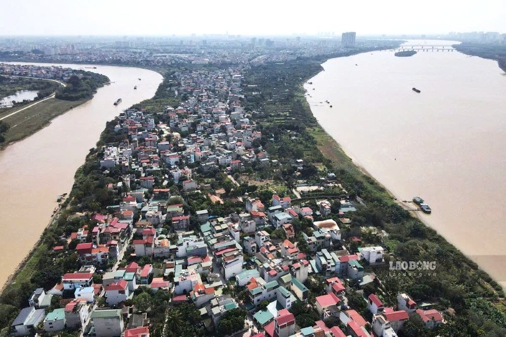
For Hanoi, the Red River should be seen as a "Heritage" of thousands of generations of ancestors for the present and future. That heritage does not necessarily have to be sky-high concrete forests, but it can be a lush green silk strip adapted to both gentle flood seasons or the anger of nature.
100-year vision: A favorable, cautious approach in every step
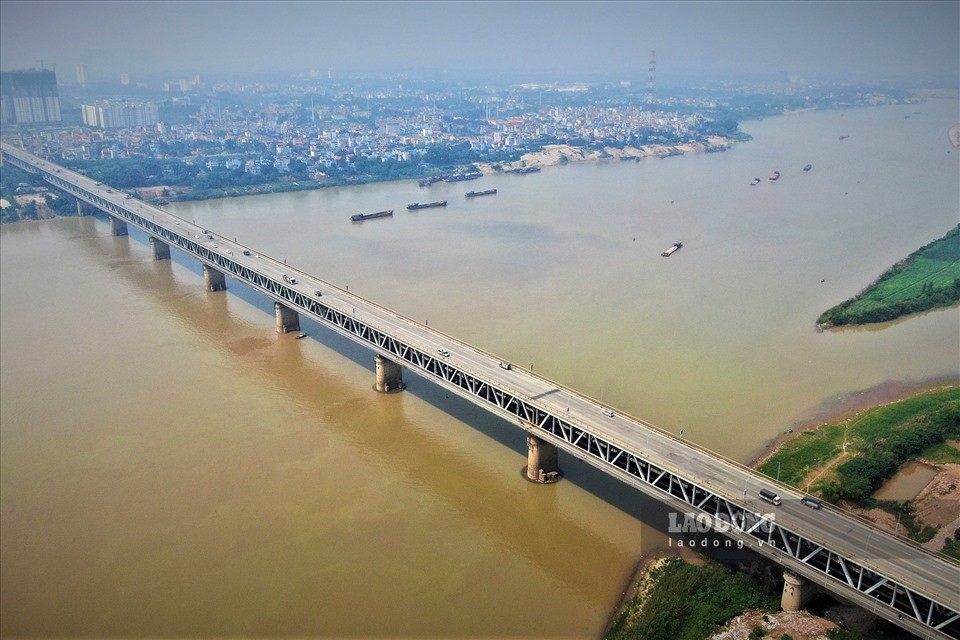
In the 100-year vision of Hanoi Capital Planning orientation, the Red River is expected to become the central ecological landscape axis. With this orientation, the addition of high-rise complexes or solid infrastructure to the riverbank area - which is located directly on sensitive faulty blocks and flood drainage corridors - needs to be considered extremely carefully. If we do not consider the scenario of "100-year cycle flood" or the risk of uneven subsidence between tectonic blocks, we may be putting the future of the Capital in front of harsh challenges of nature.
The 100-year vision of the Capital planning is a complex problem, which should not and cannot be solved hastily in a few months or even a few years. To make the Red River ecological landscape truly become a symbol of development, perhaps we should start with slow but steady steps:
- Thoroughly understand the "nature" of the soil: Conduct detailed geological surveys to understand the amplitude of each fault, each geological block, avoiding building overly heavy structures at sensitive intersections or on subsided geological blocks.
- Prioritize adaptive infrastructure: Instead of high-rise buildings compressing riverbanks, make space for urban geoparks, green infrastructure and open public spaces.
- Respect the flood drainage corridor: Save space for the river to "breathe" in accordance with the spirit of the Dyke Law and international standards for 100-year cycle floods.
The Red River space axis should be seen as a "legacy" that our ancestors left for the present and future thousands of years ago, where development should blend with conservation, harmonize with nature, within the limits allowed by Mother Nature and consider prioritizing green infrastructure solutions, parks with high adaptability.
For any large project in the Red River space, should there be discussions with the wide participation of many scientists, many stakeholders, and even potentially affected parties, to assess environmental - geological - hydrological impacts... in a methodical way.
Listening to the river and understanding the heart of the earth is not a step backwards for development, but the foundation for development to go far and steadily.


