
At cultural houses in Kieu Phu commune, Hanoi, the atmosphere of the 45-day peak campaign to complete the land database is taking place urgently.
On the computer screen, each land plot appears on the "digital land plot" application. Land administration officials compare land use right certificates with digital data, scan citizen ID cards, and determine the location of the land plot on the digital map before synchronizing it to the VILIS system.
Mr. Nguyen Dat Tuan - Head of the Economic Department of Kieu Phu commune said that each land plot must be reviewed and compared with many fields of information about the land user, location and legal documents. Even a small deviation is forced to re-examine the entire process.
Therefore, the city's goal is not only to complete the progress but also to ensure data meets the standards of "correct, sufficient, clean, live", ready to serve state management and solve administrative procedures in the digital environment.
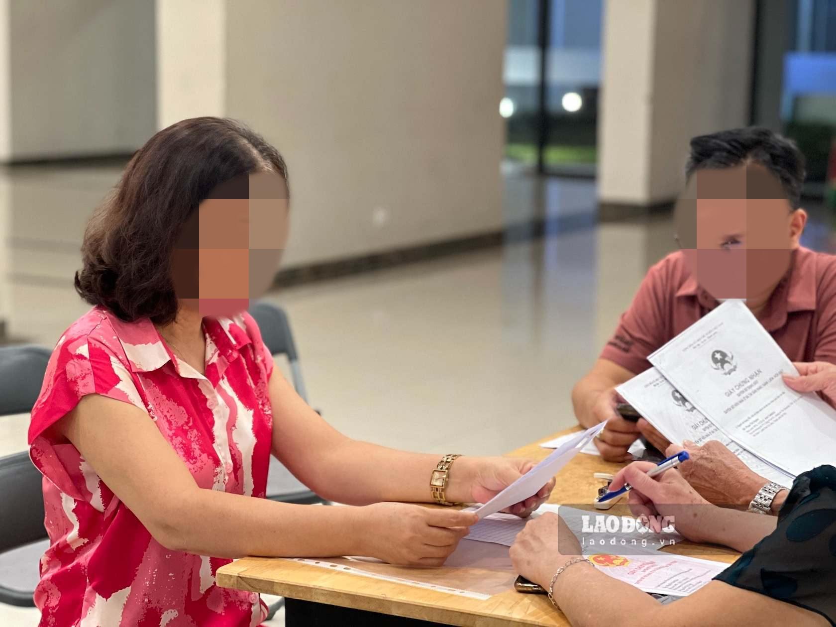
Hoa Phu commune is also implementing a peak period of reviewing, standardizing and cleaning up land data according to the motto "right - sufficient - clean - living", contributing to building a unified and accurate land database, connected to the national population database, effectively serving state management and creating convenience for people when carrying out administrative procedures.
To achieve high results in land data cleaning, Hoa Phu Commune People's Committee requests each citizen to actively coordinate with functional agencies through specific actions:
When receiving a notice or work invitation, people need to come to the correct time and place to compare and verify information. Bring all relevant documents such as a chip-sealed citizen identification card or documents with personal identification number information, land use right certificate and other documents as required.
Carefully check the information on the Certificate of Land Use Rights, if errors are detected, immediately notify them for adjustment guidance.
Proactively carry out registration of land changes when there is transfer, donation, inheritance, change of land use purpose or change of personal information as prescribed. Not following the instructions of brokers and services of unknown origin, not providing personal papers to unauthorized people.
Ung Thien commune is also urgently implementing a 45-day plan to complete the land database.
According to the plan, during the implementation period, the commune's working groups will coordinate with the branch of the land registration office, commune police and villages to review, compare, and verify information of land users; and at the same time collect, scan (scan) land use right certificates and citizen ID cards of land users who do not have them or need to supplement and update them in the land database.
Information collection is carried out in accordance with regulations, ensuring the safety and security of people's data.
To achieve high results in the campaign, the Commune People's Committee requests households and individuals in the area to proactively prepare land use right certificates, citizen identification cards and coordinate to provide complete and accurate information when the working group comes to work or according to local notices.
The consensus and coordination of the people will contribute to building a modern and transparent land database, creating favorable conditions in resolving administrative procedures related to land, and at the same time improving the efficiency of state management, better serving the needs of people and businesses in the digital transformation period.


