The Hanoi Department of Agriculture and Environment is implementing the 45-day peak plan to complete the land database. This is a key task to improve the efficiency of state management, promote digital transformation in the land sector and serve people and businesses better and better.
The 45-day peak period is identified as an acceleration phase to focus on enriching and cleaning data, ensuring that the city's land database is complete, accurate, synchronous and can be effectively exploited.
Mr. Nguyen Minh Tan - Deputy Director of Hanoi Department of Agriculture and Environment said that the implementation process must be associated with the responsibility of each unit and each official; ensuring that data is updated promptly, consistently, minimizing errors, duplication and lack of information.
To implement this, the People's Committees of communes and wards of Hanoi have established a working group to assist in implementing the 45-day Campaign to build and complete the land database.
According to the plan, the 45-day Campaign aims to complete the construction of a land database for all land plots that have been measured and spatial data updated before July 30, 2026; complete for the remaining land plots before August 30, 2026.
During the implementation period, working groups will organize propaganda and notify each household about coordinating to provide information, prepare copies or photocopies of Land Use Right Certificates, citizen identification cards of household members and contact information to serve the construction of a land database.
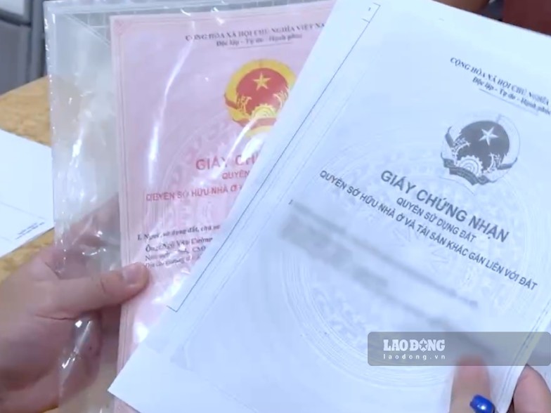
Local teams will directly collect dossiers, coordinate with Chuong My Branch of the Land Registration Office to update field data on the city's digital map system; complete land registration dossiers for public land funds managed by the Ward People's Committee; summarize and hand over data to the Economic, Infrastructure and Urban Department for management and report to the Steering Committee according to schedule.
Hoai Duc commune also implemented the 45-day peak campaign on surveying, mapping cadastral maps, land registration, preparing cadastral records and building a national database on land in the area.
During this peak period, the commune focuses on reviewing, collecting and standardizing all existing cadastral records; completing surveying and mapping of cadastral maps for agricultural land areas, interspersed land and areas lacking cadastral maps, ensuring that the government cadastral map covers the entire natural area of the commune.
At the same time, localities promote digitization of dossiers, build and complete cadastral databases, enrich land data; update land registration changes, standardize information on land users according to personal identification codes, and effectively use existing documents, dossiers, and maps to edit and update data, avoiding duplication and waste.
The results of surveying and preparing cadastral records will be immediately put into management, operation and exploitation, effectively serving state management as well as resolving administrative procedures on land for people and businesses.
Data after being standardized will be updated regularly, continuously and synchronously in real time, ensuring that all land plots are fully registered in the land database.
Connecting and sharing data between the fields of notarization - land - tax, along with interlinking the national database on land, the national database on population and specialized databases, will contribute to shortening the time to resolve administrative procedures, improving publicity, transparency and creating convenience for people and businesses.
The database system is also built according to the requirements of ensuring safety, security and information security.
In parallel with that, the locality continues to maintain the connection system, data sharing, upgrade information technology infrastructure, train human resources, and effectively exploit existing resources to meet the requirements of managing and operating the land database in the new period.