The Ho Chi Minh City People's Committee has just issued a decision approving the detailed planning task at a scale of 1/500 for the Can Gio coastal tourism urban area, a large-scale project of strategic significance in the city's sustainable development.
Previously, the project was included in the list of typical city-level works, competing to celebrate the 50th anniversary of the Liberation of the South and National Reunification (April 30, 1975 - April 30, 2025).
Ho Chi Minh City aims to complete construction licensing procedures for the project before April 30, 2025 so that investment can begin according to regulations.
The Ho Chi Minh City People's Committee has assigned Can Gio Urban Tourism Joint Stock Company to organize the preparation of a detailed plan at a scale of 1/500, and submit it for appraisal and approval on schedule. During this process, the company and consulting units need to listen to and collect opinions from central and local agencies and relevant communities to come up with the most optimal and feasible planning solutions.
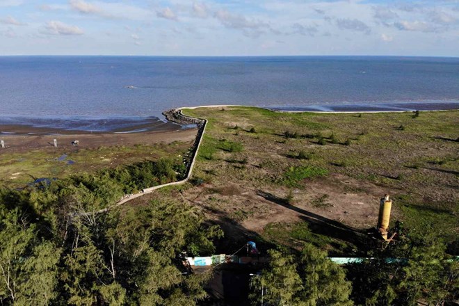
Ho Chi Minh City also emphasized the importance of applying advanced technologies in the design and construction of coastal protection works to prevent erosion. These technologies not only sustainably protect the coast but also help to enrich and create a beautiful environmental landscape, adapting to climate change.
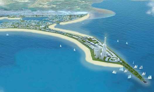
Can Gio coastal tourist urban area has a maximum population of about 228,560 people, with the goal of welcoming more than 8.8 million tourists each year.
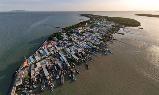
The planning scope is located in Long Hoa commune and Can Thanh town, Can Gio district, covering an area of up to 2,870 hectares, including 5 functional subareas: A, B, C, D and E.
Subarea A (953.23 ha) will be an ecological urban area combined with tourism services, acting as the gateway to the Can Gio coastal tourist urban area.
Subarea B (659.87 ha) focuses on resorts, housing and public service facilities such as healthcare, education, administrative and commercial headquarters. This area will also include many green spaces and technical infrastructure.
Subarea C (318.32 ha) is a financial, economic, commercial and service center, combined with a port, modern residential areas such as townhouses, villas and high-rise buildings.
Subarea D (480.46 ha) will be a commercial area, high-class resorts, and modern urban areas.
Subarea E (458.12 ha) is mainly for water surface, canals, and trees.
The HCMC People’s Committee also noted that functional zones must bear the mark of the river landscape, characteristic of the Can Gio mangrove ecosystem. In addition, housing models need to be designed in harmony with the river space and coastal ecology.
The city requires relevant units to reasonably arrange bus stops near public works and parking lots. In particular, evacuation areas to respond to marine disasters also need to be clearly identified in the planning.
When organizing architectural and landscape spaces, it is necessary to develop a plan to control the level of concreting to maintain balance with nature, improve microclimate conditions, minimize the greenhouse effect, and limit negative impacts from climate change. Architectural design competitions should also be organized for key projects in the area.