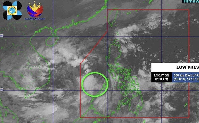
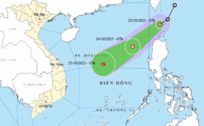
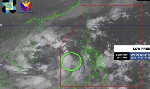
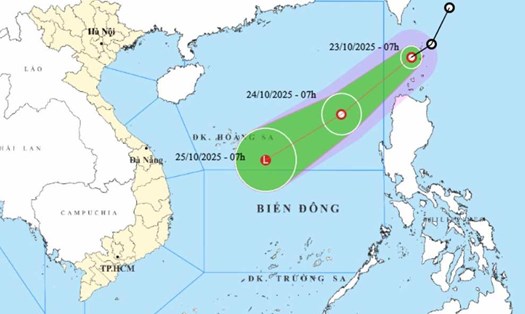
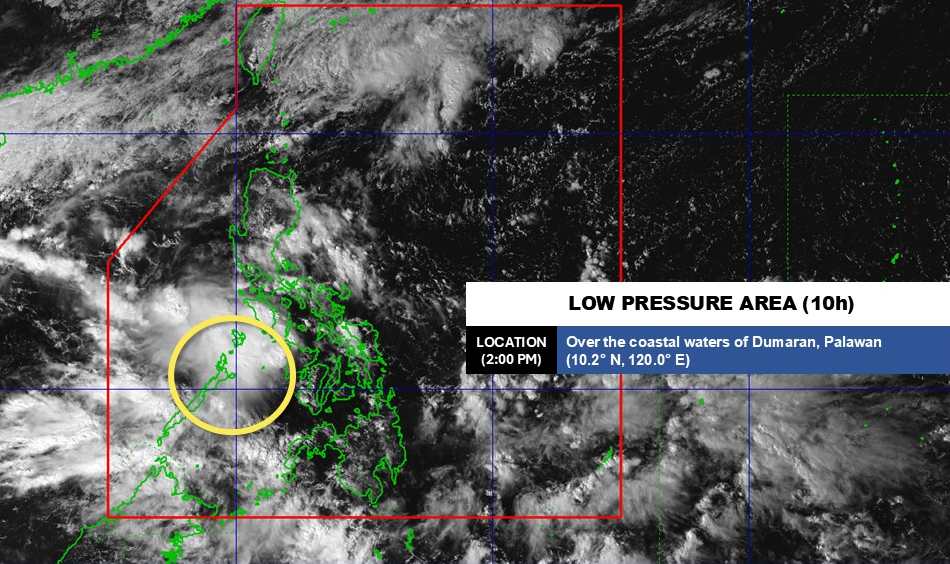
According to the latest weather forecast from the Philippine Atmospheric, Geophysical and Astronomical Services Administration (PAGASA), a newly formed low pressure is moving in the central mainland area of the country.
As of 2:00 p.m. on October 27 (local time), the center of the low pressure was at about 10.2 degrees North latitude - 120.0 degrees East longitude, in the coastal mainland area of dumaran, Palawan.
The low pressure is forecast to have little chance of strengthening into a tropical depression in the next 24 hours. However, the low pressure still caused widespread heavy rain in this area with rainfall of 50-200 mm.
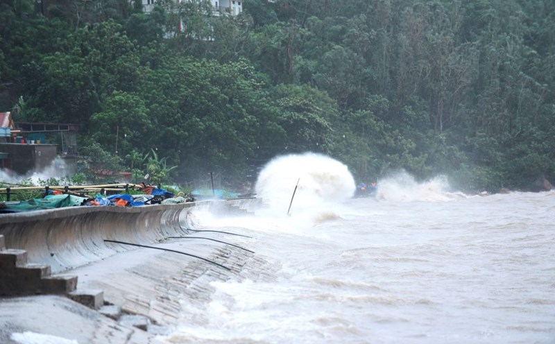
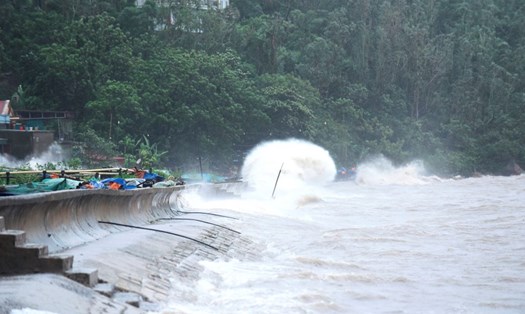
According to the National Center for Hydro-Meteorological Forecasting, on the day and night of October 27, the sea area north of the North East Sea (including the sea area north of Hoang Sa special zone) will have strong northeast winds of level 6-7, gusting to level 8-9, rough seas, waves from 3.0 to 5.0 meters high. In the Gulf of Tonkin, strong northeast winds of level 6, gusting to level 7-8, rough seas, waves from 1.5 to 3.0 meters high.
The area from South Quang Tri to Quang Ngai will have northeast winds of level 5, sometimes level 6, gusting to level 7-8, rough seas, waves from 2.0 to 4.0 meters high, combined with high tides.
In addition, on the day and night of October 27, in the sea area from Quang Tri to Ca Mau, Ca Mau to An Giang, the Gulf of Thailand, the North and Central East Sea (including the special zone of Hoang Sa), the South East Sea (including the special zone of Truong Sa), there will be scattered showers and thunderstorms. During thunderstorms, there is a possibility of tornadoes, strong gusts of wind of level 6-7 and waves over 2.0m high.
On the day and night of October 28, the sea area north of the North East Sea (including the sea area north of Hoang Sa special zone) will have strong northeast winds of level 6-7, gusting to level 8-9, rough seas, waves 3.0-5.0m high.
The Gulf of Tonkin and the sea area from South Quang Tri to Quang Ngai will have strong northeast winds of level 5, sometimes level 6, gusting to level 7-8, waves 1.5-3.0m high, rough seas.
All ships operating in the above areas are at high risk of being affected by strong winds and large waves. Coastal areas from South Quang Tri to Quang Ngai are likely to be flooded in low-lying areas due to the influence of high tides.
People and tourists in the above sea areas or areas directly affected by the low pressure pay attention to weather forecasts. Follow local instructions to avoid storms and large waves at sea that are dangerous.