According to the latest storm news from the National Center for Hydro-Meteorological Forecasting, at 3:00 p.m. on July 20, the center of storm No. 3 Wipha was at about 21.8 degrees North latitude; 113.0 degrees East longitude, about 521 km from Mong Cai (Quang Ninh).
The strongest wind near the center of storm No. 3 reached Level 12 (118-133 km/h), gusting to level 15.
It is forecasted that in the next 3 hours, the storm will move westward, at a speed of about 20-25km/h.
The Hainan Meteorological Station (China) estimates that Typhoon Wipha is approaching the coastal area stretching from Shenzhen, Guangdong province to Yunnan, Hainan province. The meteorological agency forecasts the possibility of making landfall in these areas from the afternoon to the evening of Sunday, July 20.
After making landfall for the first time, Typhoon Wipha is forecast to continue moving through southern China before entering the Gulf of Tonkin and making landfall in Vietnam, according to the China Meteorological Administration.
The southern provinces of Hainan and Guangdong in China were placed in a state of high alert as Typhoon Wipha made landfall.
The Hong Kong - Zhuhai - Macau bridge in China has been temporarily closed in response to Typhoon Wipha.
The departure procedures at Chu Hai Border Gate on the bridge were temporarily suspended at 2:30 (local time), then the entire main bridge was closed at 3:30 (local time), according to the Bridge Management Board.
So far, Typhoon Wipha has left 21 people hospitalized in southern China and recorded 363 fallen trees, while 242 have sought shelter in government centers.
At Hong Kong International Airport (China), more than 400 flights have had their departure and landing schedules adjusted, according to information from local authorities.
According to information from Macau International Airport, nearly 200 flights have been canceled.
Authorities in southern China have closed several workplaces and seaports, suspended several trains and canceled several flights.
Tourists should continuously update weather forecasts from official meteorological agencies such as the National Center for Hydro-Meteorological Forecasting (Vietnam), the Central Meteorological Station of China...
Tourists who are in coastal areas such as Guangdong, Hainan (China) or Guangning, Hai Phong, Nam Dinh (Vietnam) should temporarily stop outdoor activities, stay away from areas with easily eroded rivers, streams, and hills.
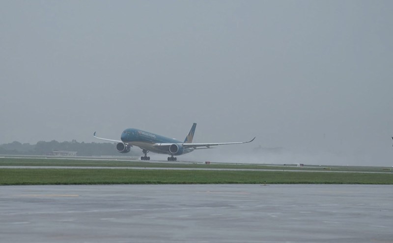
Hundreds of flights to Hong Kong, Macau and southern China have been delayed or canceled. In Vietnam, airlines have adjusted the departure schedule of some flights to/from the North and other cities to areas affected by the storm.
Visitors need to check the notification from the airline and the terminal before departure time.
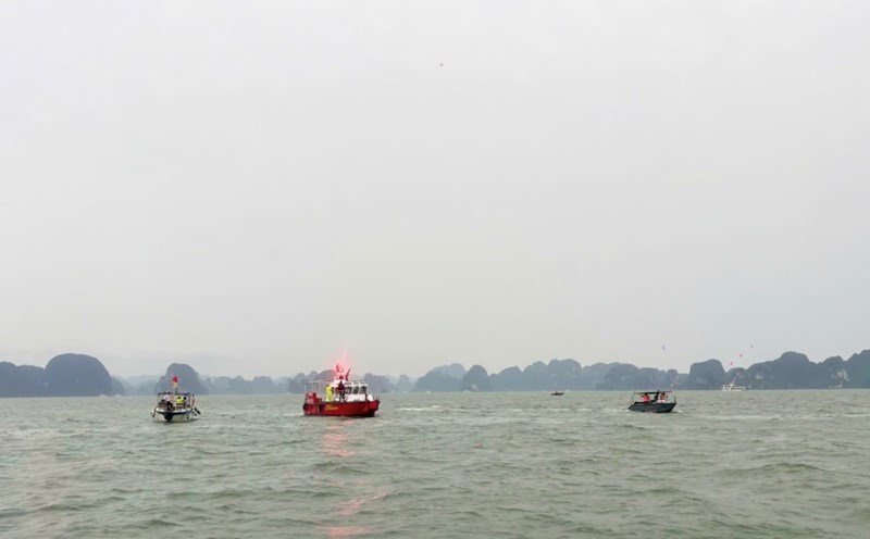
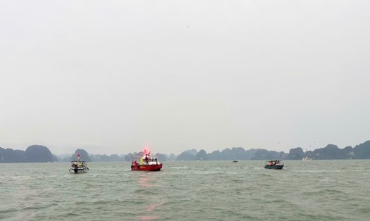
Strong seas with big waves in Ha Long, Cat Ba, Nghe An, Ha Tinh, Da Nang... may be dangerous. Absolutely do not swim in the sea, do not participate in island tours, bay tours during the time the storm makes landfall or is still affected.
Hotel and resort often have separate updates on storm conditions and support plans for tourists. save the necessary phone number in case of emergency.
Bring a backup charger, flashlights, drinking water, snacks and personal medicine in case of power outages or staying longer than expected.