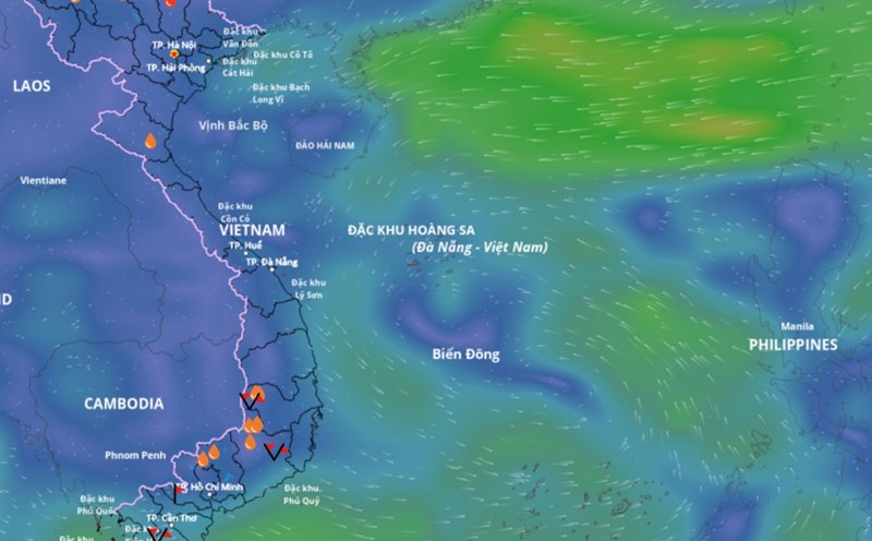
According to the National Center for Hydro-Meteorological Forecasting, at 7:00 p.m. on September 16, the center of the tropical depression was at about 15.7 degrees north latitude, 123.2 degrees east longitude, in the sea east of Luzon Island (Philippines). The strongest wind near the center of the tropical depression is level 7 (50-61km/h), gusting to level 9. The tropical depression is moving north-northwest at a speed of about 15km/h.
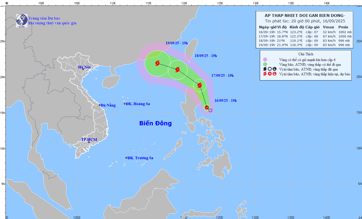
It is forecasted that in the next 24 hours, the tropical depression will move north-northwest, at a speed of about 15km/h and is likely to strengthen into a storm.
At 7:00 p.m. on September 17, the center of the storm was at about 18.8 degrees north latitude, 122.2 degrees east longitude, in the sea northeast of Luzon Island (Philippines). The strongest wind near the storm center is level 8, gusting to level 10.
It is forecasted that in the next 48 hours, the storm will move northwest, at a speed of about 15 - 20km/h, likely to enter the East Sea and strengthen.
At 7:00 p.m. on September 18, the center of the storm was at about 21 degrees north latitude, 119.1 degrees east longitude, in the northeastern sea area of the northern East Sea. The strongest wind near the storm center is level 8 - 9, gusting to level 11.
The dangerous area in the next 48 hours will be identified as the north of the 18- degrees north latitude, east of the 117- degrees east longitude. Level 3 natural disaster risk, the affected area is the northeastern sea area of the northern East Sea.
It is forecasted that in the next 48 to 72 hours, the storm will move mainly in the west-northwest direction, traveling 10-15km per hour, with little change in intensity.
Regarding the impact of the tropical depression at sea, from early morning on September 18, the northeastern sea area of the northern East Sea will have winds gradually increasing to level 6 - 7, gusting to level 9.
The area near the storm center is strong at level 8 - 9, gusting to level 11, waves 2.5 - 4.5m high, very rough seas. Ship operating in the above-mentioned dangerous areas are likely to be affected by thunderstorms, whirlwinds, strong winds and large waves.