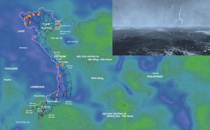
According to the National Center for Hydro-Meteorological Forecasting, at 1:00 a.m. on September 16, the center of the low pressure area was at about 12.5 - 13.5 degrees north latitude; 115.5 - 116.5 degrees east longitude, in the central East Sea.
It is forecasted that in the next 24 hours, the low pressure area will move west-northwest, traveling about 15km per hour and is likely to strengthen into a tropical depression.
Due to the influence of the low pressure circulation, which is likely to strengthen into a tropical depression later, the central East Sea area will have showers and thunderstorms, the wind will gradually increase to level 5, sometimes level 6, gusting to level 8, waves 2-3m high, rough seas.
Vessels operating in the above sea area should take proactive precautions and ensure safety.
The meteorological agency noted that forecast information on the development of the low pressure area, which is likely to strengthen into a tropical depression, will be updated regularly.
It is forecasted that from now until October 10, 2025, storms and tropical depressions active in the East Sea and affecting our country are likely to be at a level similar to the average of many years.
According to the average data of many years, in the East Sea during this period, there will be about 2.2 storms or tropical depressions, 1.1 of which will make landfall in Vietnam. Note that there will be storms and tropical depressions appearing right in the East Sea area.
Previously, from August 11 to September 10, there were 3 storms and 1 tropical depression in the East Sea.