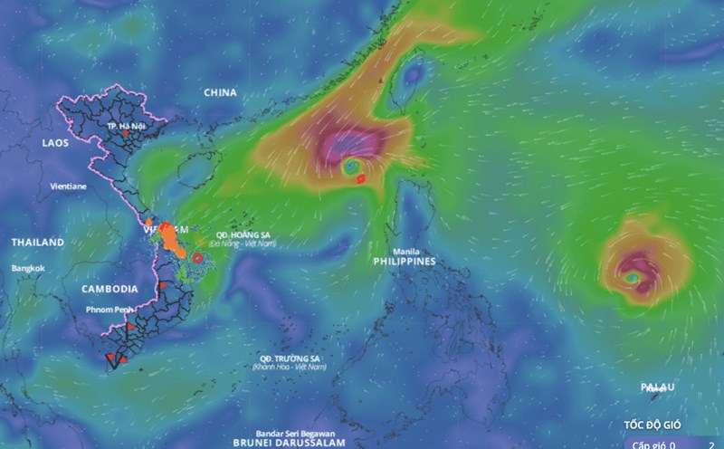
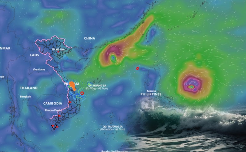
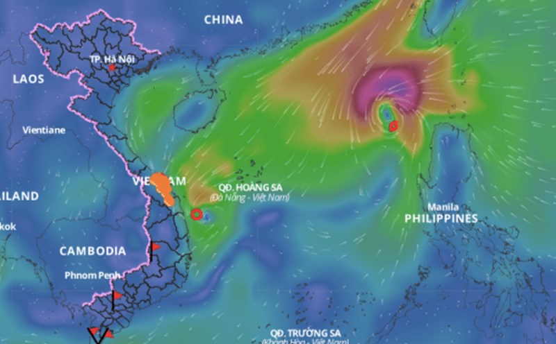
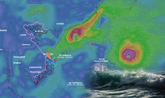
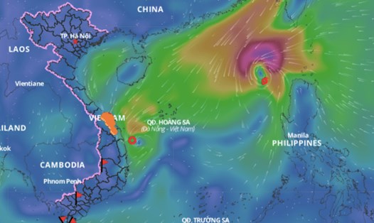
According to the National Center for Hydro-Meteorological Forecasting, due to the influence of a tropical depression (weakened from storm No. 7) on Ly Son Island (Quang Ngai), there are strong winds of level 6 - 7, gusting to level 8. Last night and this morning (November 12), the area from Thua Thien Hue to Quang Ngai had moderate rain, heavy rain, and in some places very heavy rain, with total rainfall ranging from 30 - 80mm, locally over 150mm.
At 1:00 p.m. on November 12, the center of the tropical depression was at about 14.2 degrees north latitude; 109.5 degrees east longitude, over the sea of Quang Ngai - Binh Dinh. The strongest wind near the center of the tropical depression was level 6 (39 - 49 km/h), gusting to level 8. The tropical depression moved in a south-southwest direction, at a speed of 5 - 10 km/h.
It is forecasted that in the next 24 hours, the tropical depression will move south-southwest at a speed of about 10km/h, weakening into a low pressure area. At 13:00 on November 13, the center of the tropical depression will be at about 12.8 degrees north latitude - 109.1 degrees east longitude; over the coastal areas of Quang Ngai - Phu Yen provinces. The strongest wind near the center of the low pressure area is below level 6.
Regarding the impact of the tropical depression, the sea area from Quang Ngai to Phu Yen (including Ly Son island district) in the afternoon of November 12 had strong winds of level 6, gusts of level 8, waves 2.0-3.0m high; rough seas.
Ships operating in the above mentioned dangerous areas are likely to be affected by storms, whirlwinds, strong winds and large waves.

