According to the National Center for Hydro-Meteorological Forecasting, at 5:00 p.m., the center of the storm was at about 17 degrees north latitude; 120 degrees east longitude, in the eastern sea of the northern East Sea. The strongest wind near the storm center is level 10 (89-102 km/h), gusting to level 13. The storm is moving west-northwest at a speed of about 25 km/h.
It is forecasted that in the next 24 hours, the storm will move west-northwest, at a speed of about 25 km/h and is likely to strengthen.
At 5:00 p.m. on October 4, the center of the storm was at about 18.6 degrees north latitude; 114.6 degrees east longitude, in the northern East Sea, about 430 km east-southeast of the Lusian Peninsula (China). Strong wind level 12, gust level 15.
The danger zone is from latitude 15.5 degrees north to 21 degrees north, east of longitude 112.5 degrees east. Level 3 natural disaster risk in the northern East Sea.
It is forecasted that in the next 48 hours, the storm will move west-northwest, at a speed of about 20-25 km/h.
At 5:00 p.m. on October 5, the center of the storm was at about 20.6 degrees north latitude; 109.8 degrees east longitude, in the sea east of the northern part of the Gulf of Tonkin, about 240 km east-southeast of Mong Cai (Quang Ninh). Strong wind level 11, gust level 14.
The danger zone is north of the 17-degree north latitude, from the 108 degrees east longitude to the 117 degrees east longitude. Level 3 natural disaster risk in the northern East Sea and the northern waters of the Gulf of Tonkin.
It is forecasted that in the next 72 hours, the storm will move west-northwest at a speed of about 20 km/h, making landfall in the northeastern part of the North and gradually weakening into a tropical depression.
At 5:00 p.m. on October 6, the center of the storm was at about 22.3 degrees north latitude; 105.8 degrees east longitude, in the mountainous provinces north of the North. Strong wind level 6, gust level 8. The danger zone is north of latitude 18.5 degrees north, west of longitude 112 degrees east. Level 3 natural disaster risk in the northwestern sea area of the northern East Sea, the northern area of the Gulf of Tonkin and coastal areas of provinces from Quang Ninh to Ninh Binh.
From the next 72 to 84 hours, the tropical depression will move west-northwest, traveling about 15 km per hour, moving deep into the mainland and gradually weakening into a low pressure area.
Regarding the impact of the storm at sea, the sea area east of the northern East Sea will have strong winds of level 8-9, the area near the center of the storm will have strong winds of level 10-11, gusts of level 14, waves 4-6 m high, and rough seas. From the morning of October 4, the northern East Sea area will have strong winds of level 8-10, the area near the storm center will have winds of level 11-13, gusts of level 16, waves 4-6 m high, the area near the storm center will have waves of 6-8 m, the sea will be very rough. Ship operating in the above-mentioned dangerous areas are likely to be affected by thunderstorms, whirlwinds, strong winds and large waves.
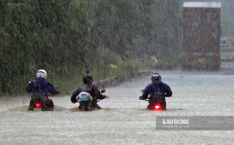
The National Center for Hydro-Meteorological Forecasting said that from the night of October 5 to the end of the night of October 7, the Northern region, Thanh Hoa and Nghe An will have heavy to very heavy rain with common rainfall of 100 - 200mm, locally over 300mm. In the mountainous and midland areas of the North, it is generally from 150 - 250mm, locally over 400mm. Warning of the risk of heavy rain with rainfall greater than 200mm within 3 hours.
The warning level of natural disaster risk due to heavy rain, tornadoes, lightning, and hail is level 1. Heavy rain is likely to cause flooding in low-lying areas, urban and industrial areas; flash floods on small rivers and streams, landslides on steep slopes.