Tropical depression will strengthen when entering the East Sea
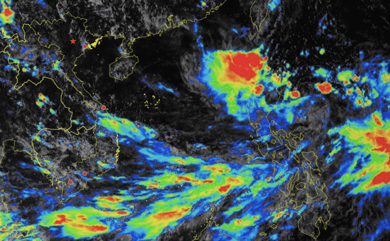
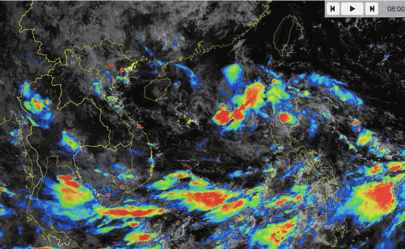
Latest update from the National Center for Hydro-Meteorological Forecasting, at 7:00 a.m. on September 17, the center of the tropical depression was at about 16.9 degrees north latitude; 120.9 degrees east longitude, on the mainland of Luzon Island (Philippines).
The strongest wind near the center of the tropical depression is level 7 (50 - 61 km/h), gusting to level 9; moving mainly west at about 15-20 km/h.
It is forecasted that in the next 24 hours, the tropical depression will move west-southwest at a speed of about 25km/h, move into the East Sea, and strengthen into a storm.
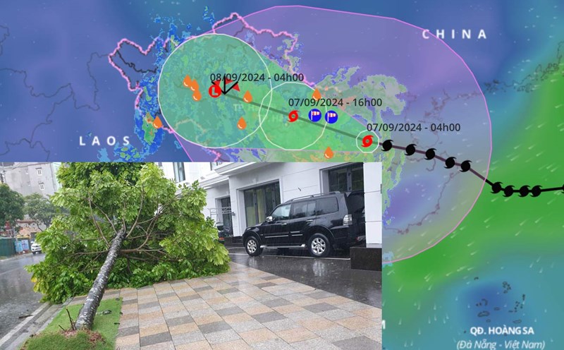
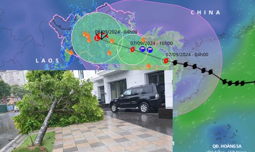
At 7:00 a.m. on September 18, the center of the storm was at about 16.5 degrees north latitude - 115 degrees east longitude; in the North East Sea, about 270km east of Hoang Sa archipelago.
The strongest wind near the storm center is level 8, gusting to level 10.
When it becomes a storm, it will move in a complex manner and may change direction.
It is forecasted that in the next 48 hours, the storm will move west at a speed of 15 - 20 km/h. At 7:00 a.m. on September 19, the center of the storm will be at about 16.5 degrees north latitude - 111 degrees east longitude; in the area west of the Hoang Sa archipelago.
The strongest wind near the storm center is level 9, gusting to level 10.
In the next 48 to 72 hours, the storm is likely to change direction, moving west-northwest, traveling about 10km per hour.
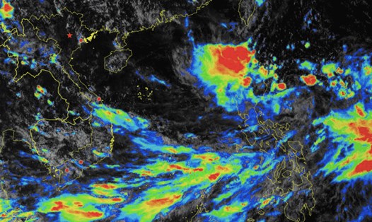
Regarding the impact of the tropical depression that is likely to strengthen into a storm, the eastern sea area of the North East Sea has strong winds of level 6 - 7, the area near the storm's center has winds of level 8 (62 - 74 km/h), gusts of level 10 (89 - 102 km/h), rough seas.
The eastern sea area of the North East Sea has waves 2-4m high, increasing to 3-5m from the afternoon of September 17. Ships operating in the above-mentioned dangerous areas are likely to be affected by strong winds and large waves.