Less than 10 days after storm No. 3 weakened, another tropical depression appeared near the East Sea. The forecast information about this tropical depression is of great interest to the people.
Mr. Nguyen Van Huong - Head of Division Weather Forecast, National Center for Hydro-Meteorological Forecasting gave initial comments on this tropical depression.

Tropical depression has complicated developments.
Sir, what is the current location and intensity of the tropical depression near the East Sea?
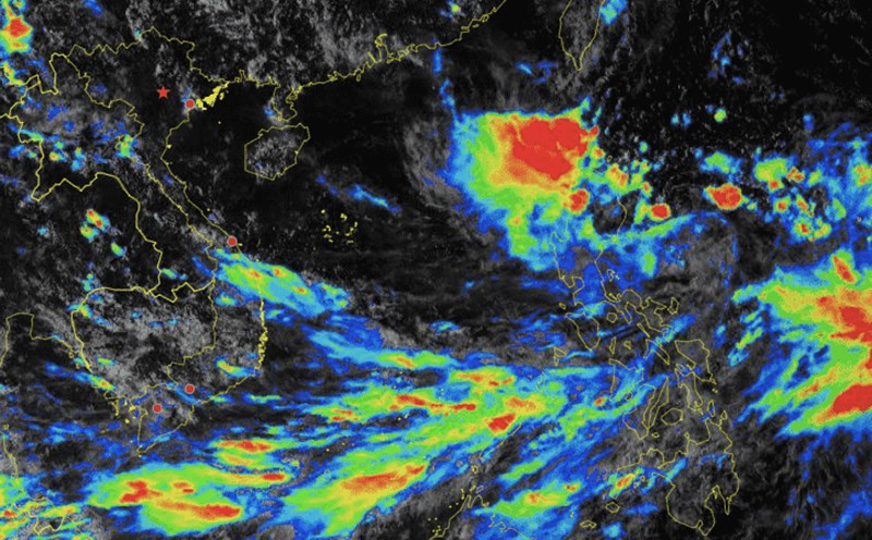
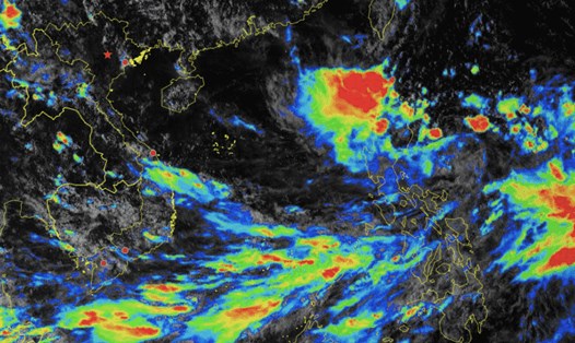
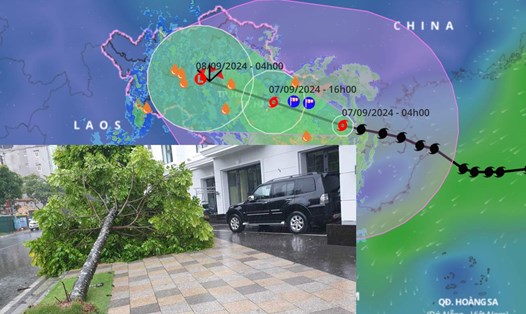
- At 7:00 p.m. on September 16, the center of the tropical depression was at about 17.1 degrees north latitude; 123.9 degrees east longitude, in the sea east of Luzon Island (Philippines). The strongest wind near the center of the tropical depression was level 7 (50-61 km/h), gusting to level 9.
The current tropical depression is quite similar to Super Typhoon Yagi - Storm No. 3 (both in the eastern part of Luzon Island - Philippines). However, the current environmental conditions are not as favorable as Storm No. 3 Yagi, it has to share moisture with Storm Pulasan (currently active in the Northwest Pacific).
Therefore, when entering the East Sea, the tropical depression does not immediately strengthen into a storm, but takes about 1-2 days to complete its structure to develop into a storm.
In addition to interacting with storm Pulasan (active in the Northwest Pacific), when entering the East Sea, the tropical depression is affected by large-scale currents from the subtropical high pressure, which is also fluctuating a lot.
In addition, around September 19, there is also a possibility of a light cold air mass moving down from the north.
All of these current and future atmospheric conditions make the path of the tropical depression, which is forecast to transform into a typhoon, much more complicated than that of Super Typhoon Yagi.
Storm No. 4 is unlikely to be as strong as super typhoon Yagi.
What is the forecast scenario of the tropical depression after entering the East Sea, sir?
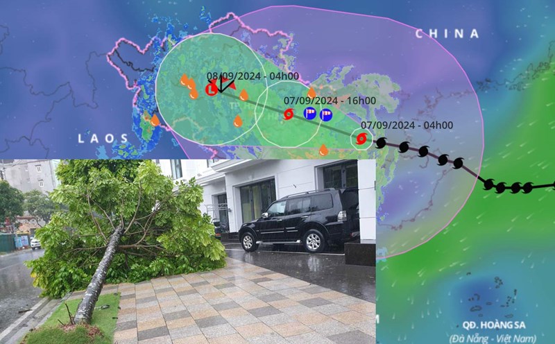
- After entering the East Sea, the tropical depression tends to gradually strengthen. On September 18, the depression may strengthen into a storm. When it moves deep into the middle of the East Sea - towards the Hoang Sa archipelago, there will be two scenarios.
In the first scenario, the storm will move straight into the central region of our country, focusing on the provinces in the Central Central region. According to this scenario, the storm will affect our mainland quite early, around September 19-20.
The second scenario is that when reaching the Hoang Sa archipelago, the storm changes direction to the west-northwest, heading towards the Northern and North Central regions of our country. With this scenario, the storm could directly affect our mainland this weekend.
Regarding the intensity of the storm, according to Vietnam and major meteorological stations in the world, this storm is unlikely to be as strong as super typhoon Yagi.
With such developments of tropical depression, what are the points to note, sir?
- In the immediate future, attention should be paid to the possibility of strong winds and large waves in the eastern area of the North East Sea (east of longitude 114; north of latitude 14). From the morning of September 17, the eastern sea area of the North East Sea will have showers and thunderstorms, strong winds of level 7 (50-61km/h), gusts of level 9 (75-88km/h), and rough seas.
Vessels operating in the above mentioned dangerous areas are susceptible to the impact of strong winds and large waves.
Regarding the storm's impact on land, the National Center for Hydro-Meteorological Forecasting will continue to monitor the storm's impact because it is likely that the storm will change after entering the East Sea.
Thank you very much!