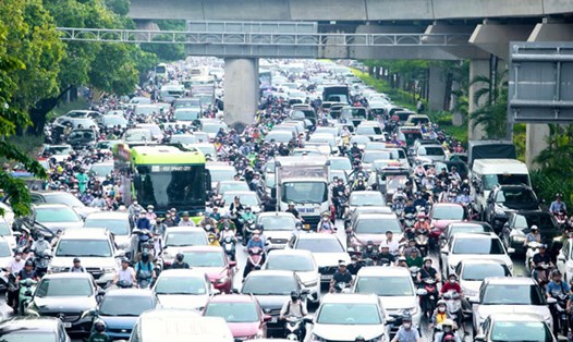
On September 17, convective clouds developed and caused rain in the provinces of Binh Phuoc, Tay Ninh, Binh Duong, Dong Nai, Ho Chi Minh City, Long An, An Giang, Ben Tre, and Ca Mau.
This convective cloud area will cause showers and thunderstorms in the above mentioned area, then continue to develop and expand, causing rain in neighboring districts and provinces such as Ho Chi Minh City, Long An, Ba Ria Vung Tau... During thunderstorms, there is a possibility of tornadoes, lightning, hail and strong gusts of wind.
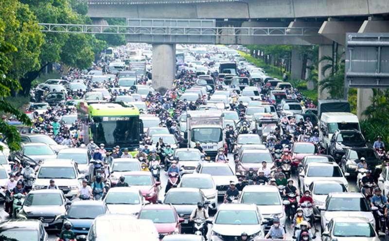
From September 17 to September 19, Ho Chi Minh City will have moderate to heavy rain. Total rainfall is generally 30-70mm, with some places over 80mm. The heavy rain is likely to last until around September 19-20.
The sea area from Ba Ria-Vung Tau to Ca Mau (including the sea area of Ho Chi Minh City) has southwest wind level 6, gusting to level 7-8. Wave height 2.0-4.0m. The sea area from Ca Mau to Kien Giang and the Gulf of Thailand has southwest wind level 5, sometimes level 6, gusting to level 7-8. Wave height 1.5-3.0m. In both sea areas, there will be showers and thunderstorms. During thunderstorms, beware of strong gusts and whirlwinds.
Regarding high tides, water levels at stations will rise rapidly following the high tides of the 15th day of the 8th lunar month. The highest peak tide during this period is likely to occur on September 20-21 (ie August 18-19 of the lunar calendar).
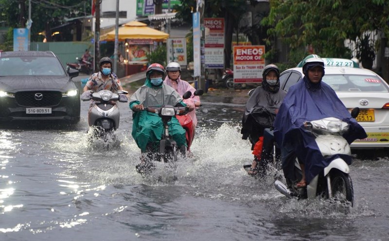
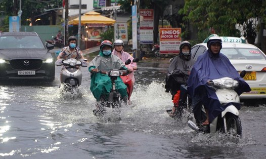
The level of natural disaster risk in the downstream area of Saigon - Dong Nai River is at level 2. High peak tide water levels are likely to cause flooding in low-lying, low-lying areas and riverside areas and affect traffic, daily life, economic and social activities in the Ho Chi Minh City area.
Some roads in Ho Chi Minh City may be flooded such as Tran Xuan Soan, Dao Su Tich, Huynh Tan Phat, Nguyen Binh, Le Van Luong, National Highway 50, Pham Huu Lau (concentrated in District 7 and Nha Be district)...