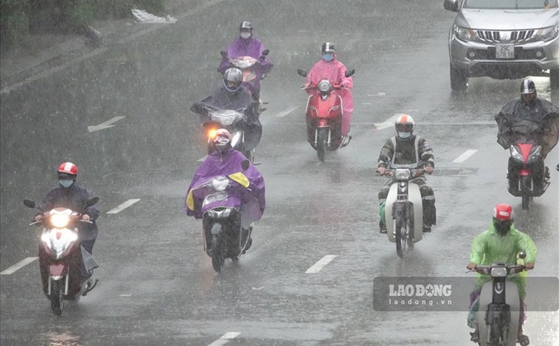
According to the National Center for Hydro-Meteorological Forecasting, currently on August 5, in the mountainous areas of the North, there are scattered showers and thunderstorms, with some places having heavy to very heavy rain. Rainfall from 7pm on August 4 to 5am on August 5 was over 60mm in some places such as: Dao San station (Lai Chau) 208.0mm, Viet Vinh station (Tuyen Quang) 62.4mm,...
The mountainous and midland areas of the North from the afternoon of August 5 to the night of August 6, there will be moderate rain, heavy rain and thunderstorms, locally very heavy rain. The common rainfall is 30 - 70mm, locally over 150mm. The rain will be concentrated in the late afternoon and night. Warning of the risk of heavy rain (> 100mm/3 hours).
Other places in the North on the afternoon and night of August 5 will have rain, moderate rain, locally heavy rain with rainfall of 20 - 40mm, locally over 70mm.
On the morning of August 7, the mountainous areas of the North will have moderate rain, heavy rain and thunderstorms, locally very heavy rain with common rainfall of 15 - 30mm, locally over 70mm.
In Thanh Hoa and Nghe An in the evening and night of August 5, there is a possibility of scattered showers and thunderstorms, locally heavy rain with rainfall of 10 - 30mm, locally over 60mm. During thunderstorms, there is a possibility of tornadoes, lightning, hail and strong gusts of wind.
Warning level 1 of natural disaster risk due to heavy rain, tornadoes, lightning, and hail.
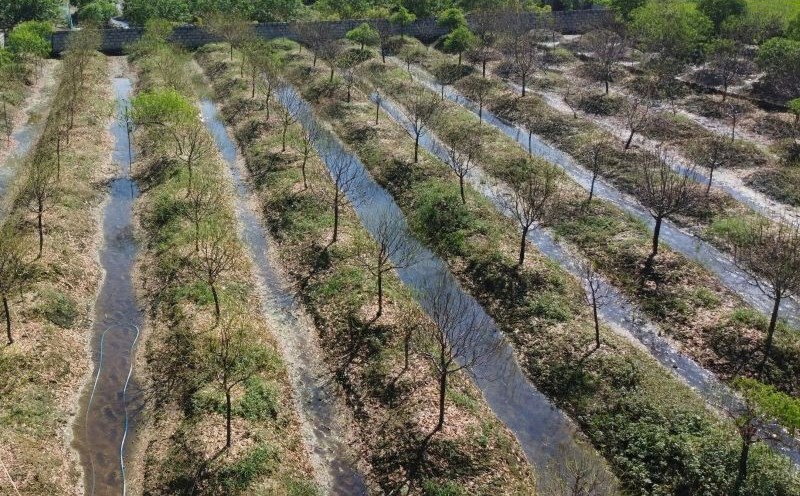
Heavy rain is likely to cause flooding in low-lying areas, urban and industrial areas; flash floods on small rivers and streams, landslides on steep slopes.