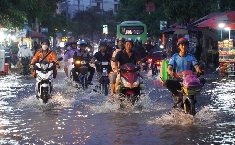
Updated news released at 8:00 a.m. from the National Center for Hydro-Meteorological Forecasting, through monitoring on satellite images, thunderstorm location data and weather radar, it was discovered that convective clouds were developing and causing rain in Hung Yen province and tended to move rapidly to Hanoi city.
In the next 1 - 4 hours, thunderstorms will continue to develop and cause thunderstorms in other areas of Hanoi city.
The meteorological agency warns that thunderstorms are likely to cause tornadoes, lightning and strong gusts of wind.
The National Center for Hydro-Meteorological Forecasting recommends that people limit going out and proactively prevent dangerous weather phenomena, especially in areas with many trees or advertising signs.
Regarding the sea weather, currently, the Gulf of Tonkin, the North and Central East Sea (including the special zone of Hoang Sa) and the Gulf of Thailand have showers and thunderstorms. In Con Dao special area, there are southwest winds gusting to level 7.
Forecast for the day and night of July 3, the Gulf of Tonkin, the North, Central and South East Sea (including the special areas of Hoang Sa and Truong Sa), the sea area from Quang Tri to Ca Mau, from Ca Mau to An Giang and the Gulf of Thailand will have scattered showers and thunderstorms.
During thunderstorms, there is a possibility of tornadoes, strong gusts of wind of level 6 - 7 and waves over 2m high. In addition, in the sea area from Lam Dong to Ca Mau, there will be strong southwest winds of level 5, sometimes level 6, gusting to level 7, waves from 1.5 - 2.5m high, rough seas.
All ships operating in the above areas are at risk of being affected by tornadoes and strong gusts of wind.