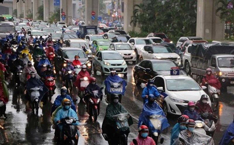
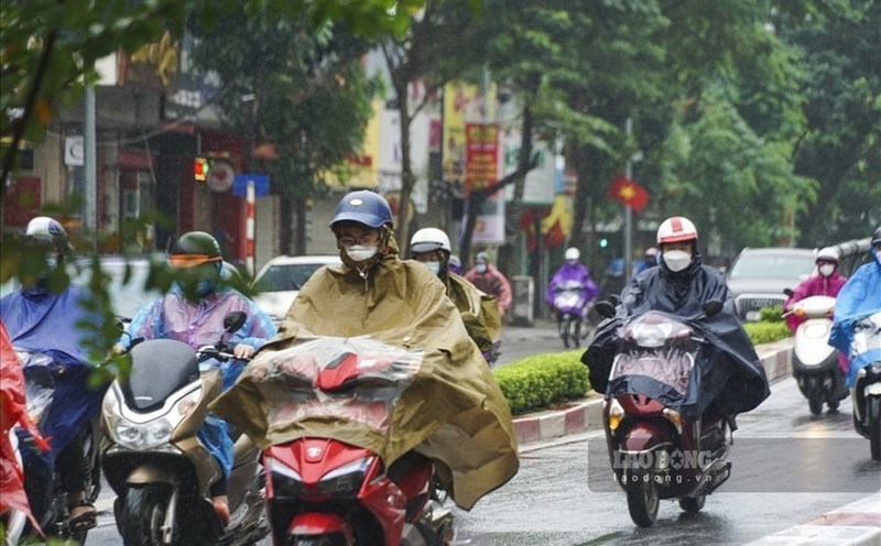
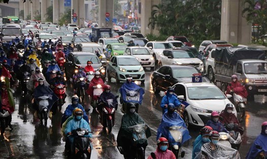
According to data from the National Center for Hydro-Meteorological Forecasting, last night and this morning (February 24), the area from Hue to Ninh Thuan had rain, moderate rain, locally heavy rain to very heavy rain and thunderstorms; the Central Highlands region had scattered showers and thunderstorms, locally heavy rain.
Rainfall from 7pm on February 23 to 8am on February 24 was over 80mm in some places such as: Bach Ma (Hue) 116.4mm, Ba Na (Da Nang City) 233mm, Tra Hiep (Quang Ngai) 101.8mm, Song Hinh (Phu Yen) 202.2mm, Phu My (Binh Dinh) 96mm, Ea M'Doal (Dak Lak) 134.4mm, Hieu Commune ( Kon Tum) 80.2mm,...
The area from Ha Tinh to Quang Tri on the day and night of February 24 is forecast to have rain, locally moderate rain, heavy rain with rainfall of 15 - 30mm, some places over 70mm.
The area from Hue to Khanh Hoa on the day and night of February 24 is forecast to have moderate rain, locally heavy rain to very heavy rain and thunderstorms with rainfall of 20 - 40mm, some places over 100mm.
In the Eastern Central Highlands and the South on the afternoon of February 24, there will be scattered showers and thunderstorms, locally moderate rain, heavy rain with rainfall of 10 - 30mm, some places over 50mm.
The meteorological agency warns that thunderstorms may cause tornadoes, lightning and strong gusts of wind. Localized heavy rains are likely to cause flash floods on small rivers and streams, landslides on steep slopes and flooding in low-lying areas. The warning level of natural disaster risk due to tornadoes and lightning is level 1.
The Northern and North Central regions on February 24 are forecast to have rain and light rain due to the impact of cold air.