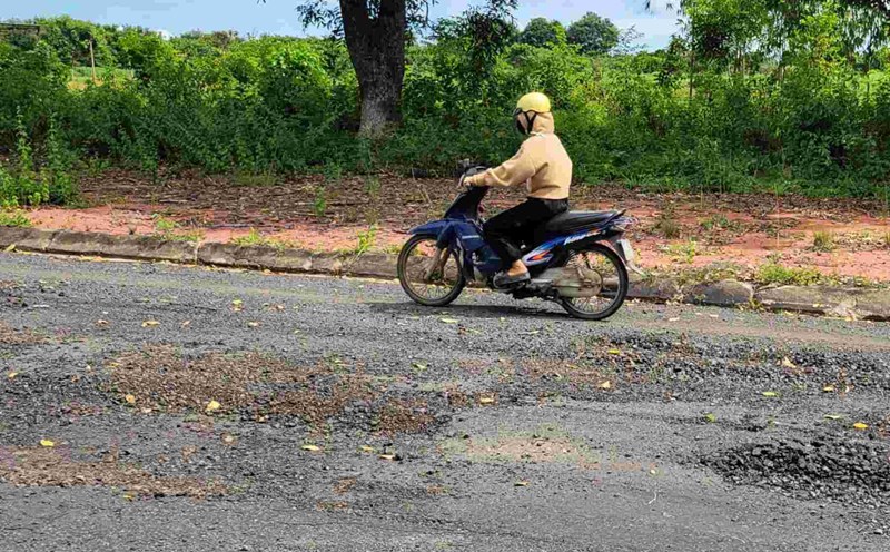
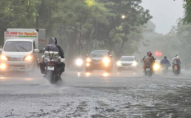
According to the National Center for Hydro-Meteorological Forecasting, last night and this morning (October 16), the Northern region and from Quang Tri to Khanh Hoa had showers and thunderstorms, locally heavy to very heavy rain.
Rainfall from 7pm on October 15 to 8am on October 16 locally has monitoring stations measuring over 100mm such as: Phin Ho station (Lai Chau) 108.7mm; Minh Thanh station (Cao Bang) 109.4mm; La To hydropower dam station (Quang Tri) 138.2mm; Bach Ma National Park station (Hue city) 281.6mm; Que Thuan station (Da Nang) 199mm; Ninh Tan station (Khanh Hoa) 153.3mm; Chi Thanh station (Dak Lak) 114.2mm,...
The area from Ha Tinh to Lam Dong during the day and night of October 16 is forecast to have showers and thunderstorms with common rainfall of 20 - 40mm, locally heavy rain over 100mm.
In the Southern region in the afternoon and evening of October 16, there will be scattered showers and thunderstorms with common rainfall of 15 - 30mm, locally heavy rain over 70mm.
The meteorological agency warns that there is a risk of heavy rain (rainfall over 70mm within 3 hours). During thunderstorms, there is a possibility of tornadoes, lightning, hail and strong gusts of wind. Localized heavy rains can cause flash floods on small rivers and streams, landslides on steep slopes and flooding in low-lying areas.
Regarding the hydrological situation, the water level in the central and downstream areas of the Me Cong River is currently decreasing. At 7:00 a.m. on October 16, the water level at all major stations tended to decrease. The water level in the upstream of the Mekong River continues to change slowly and is affected by tides.
It is forecasted that by October 20, the highest water level of the day on the Tien River at Tan Chau station will be 3.75m, 0.25m higher than alert level 1; on the Hau River at Chau Doc station at 3.35m, 0.15m lower than alert level 2. At stations in the downstream area of the Mekong River, water levels are expected to fluctuate between alert level 1 and alert level 2.
The risk of flooding continues to appear in low-lying areas, along rivers and outside dykes in An Giang province; at the same time, in Dong Thap, Can Tho and Vinh Long provinces, flooding in low-lying areas and along rivers may continue. Localities need to be on guard against the risk of embankment landslides, especially in weak dykes or areas with high water levels.
The risk level of natural disasters due to floods is determined at level 1. Floods on rivers cause flooding in low-lying areas along rivers, affecting waterway transportation, aquaculture, agricultural production, people's lives and socio-economic activities.