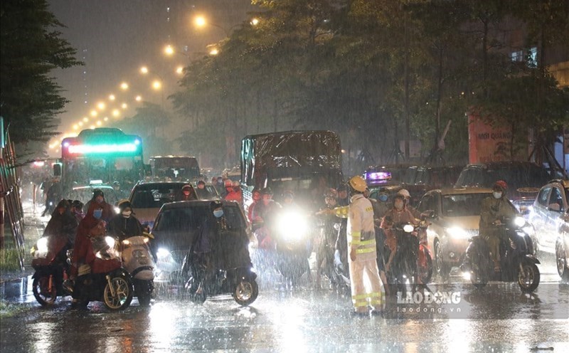
According to data from the National Center for Hydro-Meteorological Forecasting, last night and early this morning (November 25), the area from Thua Thien Hue to Quang Ngai had moderate rain, heavy rain, and locally very heavy rain.
Rainfall from 7pm on November 24 to 3am on November 25 was locally over 120mm in some places such as: Bach Ma (Thua Thien Hue) 423.8mm, Ba Na (Da Nang) 130.6mm, Phuoc Hiep (Quang Nam) 229mm, Binh An (Quang Ngai) 127.4mm,...
During the day and night of November 25, it is forecasted that the area from Quang Tri to Phu Yen will have rain, moderate rain, locally heavy rain and thunderstorms with rainfall from 15 - 40mm, locally over 80mm.
With such heavy rainfall, soil moisture models show that some areas in the above provinces are nearly saturated (over 85%) or have reached saturation.
In the bulletin issued at 7:30 a.m. on November 25, the meteorological agency warned that in the next 3-6 hours, the above provinces will continue to have rain, with accumulated rainfall ranging from 20-40mm, in some places over 60mm.
In the next 6 hours, there is a risk of flash floods on small rivers and streams, and landslides on steep slopes in many districts.
The warning level of natural disaster risk due to flash floods, landslides, land subsidence due to heavy rain or water flow is level 1.
Regarding the flood situation on rivers, the water level of Huong River at Kim Long is 3.01m, about 0.49m below alert level 3; Bo River at Phu Oc is about 3.62m, about 0.62m above alert level 2; Ve River at Ve River is 3.82m, about 0.32m above alert level 2; Kon River at Thanh Hoa is 6.30m, about 0.3m above alert level 1.
In the bulletin issued at 9:10 a.m. on November 25, in the next 6 hours, the flood on the Huong River will continue to rise and peak at alert level 2 - alert level 3, then gradually subside; the Bo River (Thua Thien Hue) and rivers in Quang Ngai will subside slowly.
In the next 6 - 24 hours, floods on rivers will gradually recede and stay above alert level 2.
In the next 6 hours, floods on rivers in Quang Nam and Kon rivers will continue to rise and are likely to peak at level below alert level 2, then decrease.
High risk of landslides in mountainous areas, riverbank landslides, localized flooding in low-lying areas along rivers and urban areas from Thua Thien Hue to Binh Dinh provinces.
Flood disaster risk warning level is level 2.
The meteorological agency warned that floods on rivers cause inundation of low-lying areas along rivers, affecting activities such as water transport, aquaculture, agricultural production, people's lives and socio-economic activities.


