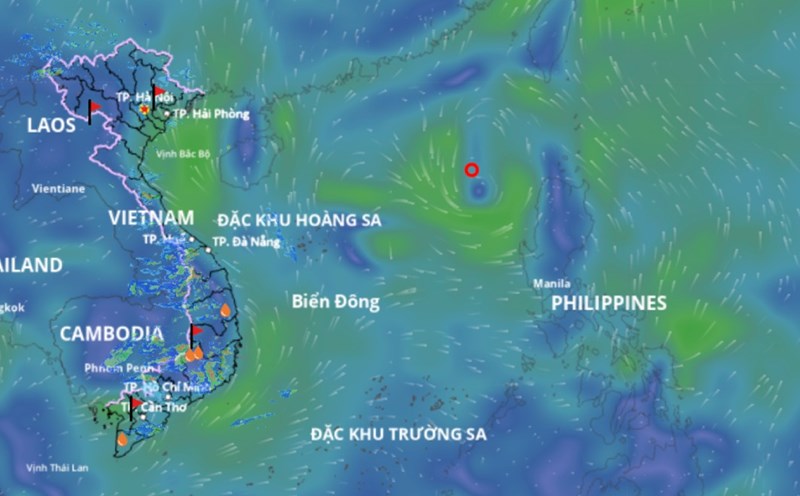
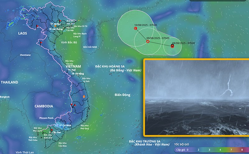
According to the National Center for Hydro-Meteorological Forecasting, at 7:00 a.m. on August 9, the center of the tropical depression was at about 19.1 degrees north latitude; 117 degrees east longitude, in the eastern sea of the northern East Sea. The strongest wind near the center of the tropical depression is level 6 (39 - 49 km/h), gusting to level 8; moving slowly westward, at a speed of about 5 km/h.
It is forecasted that in the next 24 hours, the tropical depression will move west-northwest at a speed of 10-15 km/h and gradually weaken into a low pressure area. At 7:00 a.m. on August 10, the center of the low pressure area was at about 20.4 degrees north latitude; 114.6 degrees east longitude, in the northern sea area of the northern East Sea, about 500 km north-northeast of Hoang Sa archipelago. The strongest wind is below level 6.
The dangerous area in the next 24 hours will be determined from latitude 18 to 21 degrees north; from longitude 114 to 118.5 degrees east. Level 3 natural disaster risk, the affected area is the eastern sea area of the northern East Sea.
Regarding the impact of the tropical depression at sea, the eastern sea area of the northern East Sea will have thunderstorms and strong winds of level 6, gusts of level 8, waves from 2 to 3 meters high, rough seas. Ship operating in the above-mentioned dangerous area are likely to be affected by thunderstorms, whirlwinds, strong winds and large waves.