The Institute of Meteorology, Hydrology and Climate Change has issued a climate forecast for the 3-month period (from October to December 2025) based on climate change analysis, the Institute's statistical model, and forecast bulletins from major climate centers around the world.
The reporter had an interview with Dr. Truong Ba Kien, Deputy Director of the Center for Meteorological and Climate Research - Institute of Meteorology, Hydrology and Climate Change - about the most notable weather features in the above period.

Sir, what state is ENSO's operation in and is there a probability of moving to the La Nina phase in the last months of the year?
- Currently, atmospheric and ocean conditions reflect ENSO being in a neutral state, leaning towards the cold phase. ENSO is forecast to likely transition to La Nina state in the last 3 months of 2025 with a fairly high probability - about 60 - 70%.
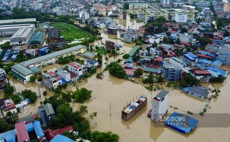
Since the beginning of the year, there have been 15 storms and tropical depressions in the East Sea, much higher than the average of many years. Of which, 7 were directly affecting our mainland. What is your assessment of the reason for the stronger increase in storm activity this year than the average of many years?
- Right from the beginning of the year, the Institute of Meteorology, Hydrology and Climate Change has assessed that the number and intensity of storms active in the East Sea tend to be higher than the average of many years.
ENSO's cold-pressure conditions and the increased sea surface temperature trend due to climate change are two main reasons for storm activity to become more vibrant.
Firstly, ENSO is in a neutral state leaning towards the cold phase, with the possibility of La Nina (usually associated with increased storms) reappearing by the end of the year. Therefore, the number of storms in the East Sea has been higher than the average of many years, originally only about 12 - 13 storms/tropical depressions, of which 6 - 7 directly affect Vietnam.
In addition, global climate change is causing sea surface temperatures to increase, while increasing the amount of moisture in the atmosphere, providing more fuel for storms. Many recent studies have also shown that the rate of strong storms and super typhoons has tended to increase significantly in the past few decades.
It is forecasted that from now until the end of 2025, how many storms and tropical depressions will still operate in the East Sea and affect the mainland of our country, sir?
- From now until the end of 2025, we forecast tropical cyclone activity in the East Sea to be approximately the average of many years, i.e. about 3 - 4 storms and tropical depressions, of which 1 - 2 are likely to directly affect Vietnam. The main affected area is likely the Central region, especially in October and the first half of November, when storm activity typically peaks at the end of the season.
Strong storms lead to heavy rain, causing rainfall this year to tend to be higher than average. In the last months of the year, how is the rain forecast, sir?
- In the last 3 months of the year, total rainfall is likely to be approximately the average of many years in the North; approximately to higher than the average of many years in the area from Thanh Hoa to Hue and the Central Highlands. The rain in the South Central and South Coastal regions also tends to be higher than the average of many years. Beware of heavy rains causing serious flooding in the Central region.
Sincerely thank you!