The National Center for Hydro-Meteorological Forecasting has issued a forecast of notable weather trends in November.
1 - 2 storms and tropical depressions affecting the mainland of Vietnam
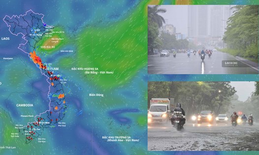
In November, storms/tropical depressions and storm-induced rain will continue to be notable weather patterns.
According to Ms. Tran Thi Chuc - Deputy Head of Climate Forecasting Department, National Center for Hydro-Meteorological Forecasting, according to the average data of many years in November, there were 1.5 storms or tropical depressions in the East Sea, 0.9 of which made landfall in Vietnam.
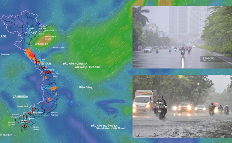
This November, the possibility of storm and tropical depression activity is higher than average. It is forecasted that there will be 2-3 storms or tropical depressions in the East Sea and 1-2 storms will likely affect the mainland of Vietnam.
Previously, in October, there were 2 storms and 1 tropical depression in the East Sea. In particular, both storms, storm No. 11 Matmo and storm No. 12 Fengshen, directly affected our mainland.
Cold air increases in both frequency and intensity
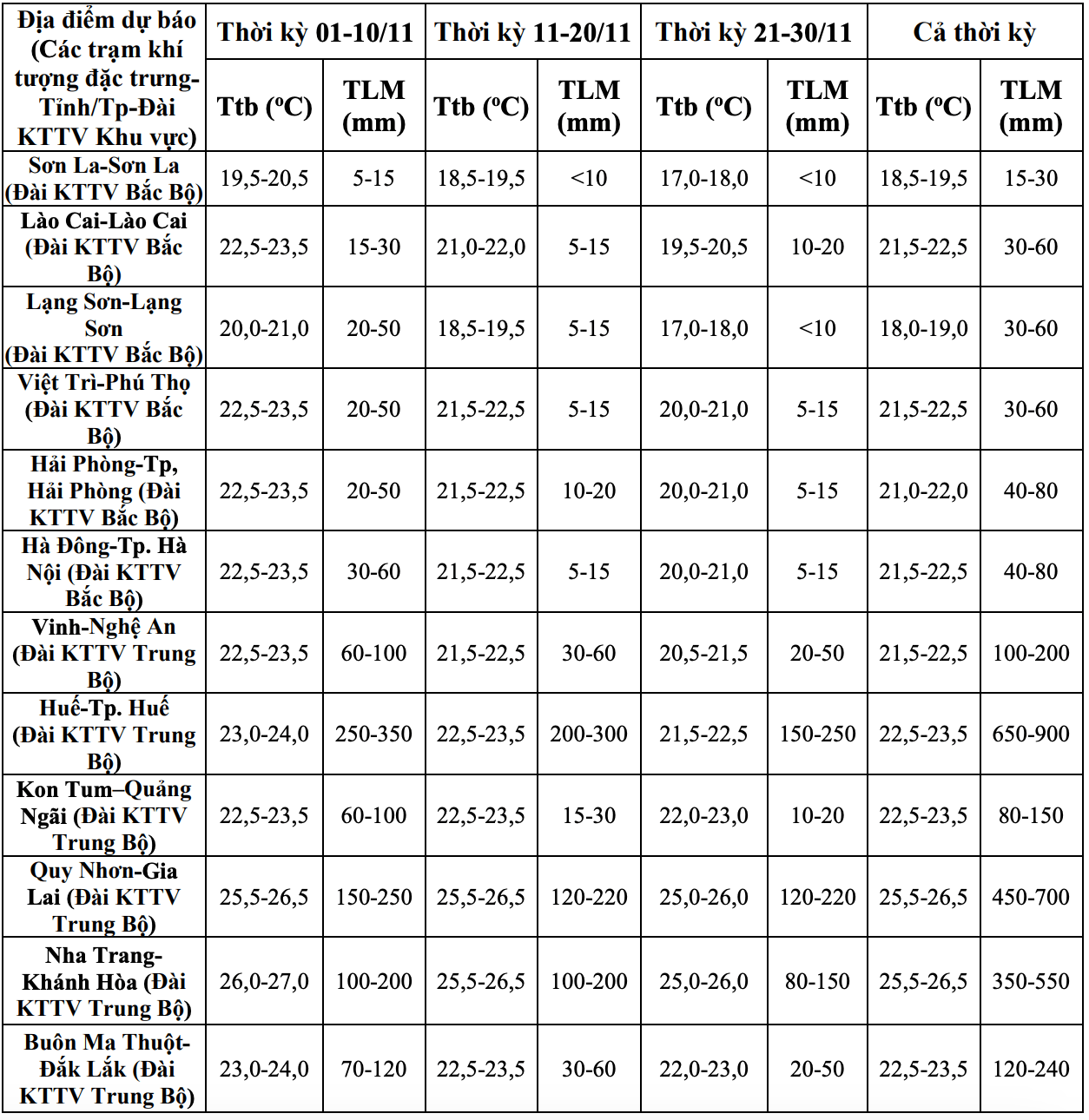
Regarding temperature trends, in November, the average temperature in most areas across the country is generally about 0.5 degrees Celsius lower than the average of many years; in particular, the provinces from Nghe An to Hue are generally 0.5 - 1 degree Celsius lower than the average of many years in the same period.
Ms. Tran Thi Chuc added that cold air continues to tend to increase in frequency and intensity in November.

Mr. Mai Van Khiem - Director of the National Center for Hydro-Meteorological Forecasting, Department of Hydro-Meteorology analyzed that the interaction of cold air and storms is one of the types of interaction with many scenarios. If the storm comes first, the cold air comes later or the storm and the cold air will cause a lot of rain, but in the case of the cold air coming first, then the new storm comes, the rain is not too heavy.
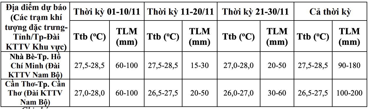
Data analyzed from the meteorological agency also shows that in November, the total rainfall in the Northern, Thanh Hoa and Southern regions will generally be approximately the same as the average of many years in the Northwest region, 10 - 30% lower than the average of many years. The remaining areas across the country have total rainfall generally 10 - 25% higher than the average of many years, especially the area south of Quang Tri to Dak Lak has the possibility of total rainfall 25 - 40% higher than the average of many years in the same period.
"From now until the first half of December 2025, moderate and heavy rains are likely to continue to appear in the Central region, concentrated in the area from Ha Tinh to Da Nang, Khanh Hoa and the eastern areas of the provinces from Quang Ngai to Dak Lak" - Mr. Khiem warned.
The meteorological agency said that the western part of Lam Dong province and the Southern region in November are likely to have many days of showers and thunderstorms; in which, some days may have moderate to heavy rain.
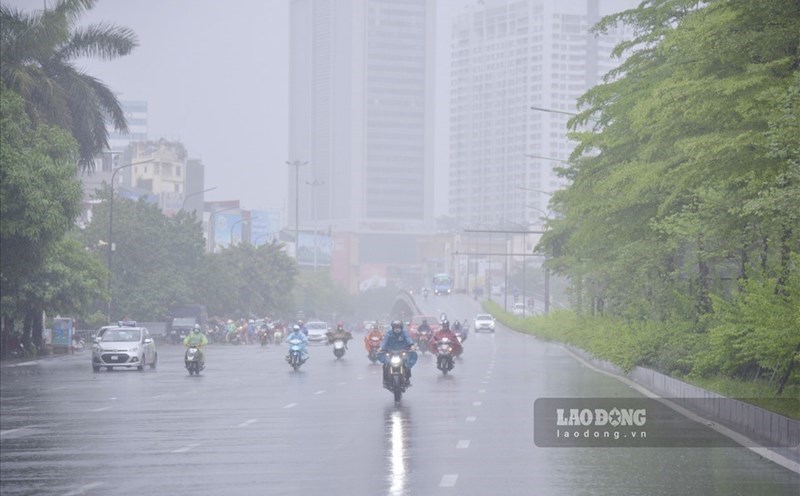
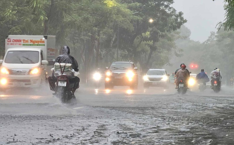
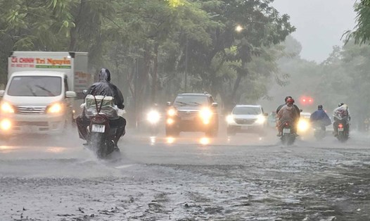
In the last months of the year, storms, tropical depressions and cold air can cause strong winds, large waves at sea and affect the activities of ships and boats. In particular, beware of heavy rain that can cause flooding, inundation in low-lying areas and landslides in mountainous areas.
In the context of climate change, weather and climate are becoming increasingly complex with many dangerous and extreme forms such as short-term heavy rain, flash floods, landslides, etc.
Therefore, it is recommended that authorities at all levels and people regularly update and integrate hydrometeorological forecast and warning information in short-term bulletins of 1-3 days, to promptly adjust production plans and appropriate response plans, especially appropriate reservoir operation plans, ensure the safety of works and downstream areas, along with ensuring safety for production and people's lives.