According to the National Center for Hydro-Meteorological Forecasting, this morning (April 9) a low pressure area in the Northwest Pacific region has strengthened into a tropical depression. The position at 7:00 AM on April 9 of the tropical depression is at about 9 degrees north latitude - 152.2 degrees east longitude, about nearly 3,000km from the Philippines. The current intensity of the tropical depression is strong at level 7, gusting at level 9.
Currently, the tropical depression is located in the eastern part of the subtropical high pressure blade. Therefore, in the next 24 hours, the tropical depression will move slowly in a westerly direction, with the possibility of strengthening into a storm. After strengthening into a storm and if it strengthens into a storm, this will be the 4th storm to form and operate in the Northwest Pacific.
Storms that have formed over the Pacific Northwest in 2026 are Nokaen, Penha, Nuri.
The meteorological agency believes that, according to the current field of the subtropical high pressure blade, this storm is highly likely to move north, then change direction to west-northwest, moving south of Japan.
Regarding weather patterns as well as forecasts of the model, it shows very little possibility of our country moving into the East Sea. This is a typical type of path moving along the Parabolic orbit of early-season storms appearing in the Northwest Pacific region.
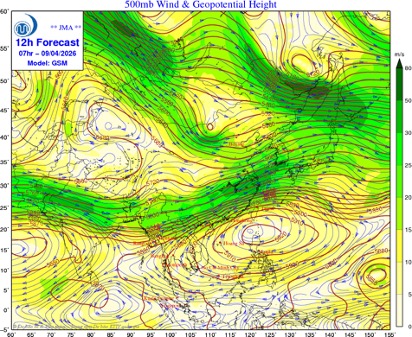
Currently, the Japan Meteorological Agency, the unit assigned by the World Meteorological Organization to monitor, forecast, and warn of storms/tropical depressions in the Northwest Pacific region, also assesses that the tropical depression is likely to strengthen into a storm, then move northward.
The National Center for Hydro-Meteorological Forecasting is continuing to closely monitor the developments of this tropical depression and is likely to strengthen into a storm.
Regarding the trend of the 2026 storm season, Mr. Nguyen Duc Hoa - Deputy Head of the Climate Forecast Department, National Center for Hydro-Meteorological Forecasting said that from April to June 2026, storms/tropical depressions will operate in the East Sea area and directly affect the mainland at a level equivalent to the multi-year average. Usually, the storm season in Vietnam starts around June.
According to multi-year average data in the East Sea in the period from April to June, there are about 1.8 storms/tropical depressions, making landfall 0.3 storms.
From July to September 2026, the activity of tropical cyclones will increase. It is forecast that the number of storms/tropical depressions in the East Sea and making landfall in our country will be equivalent to the multi-year average. According to multi-year average data from July to September in the East Sea, there are about 6.5 storms/tropical depressions, making landfall about 2.9 storms.

According to Mr. Mai Van Khiem - Director of the National Center for Hydro-Meteorological Forecasting, Department of Hydro-Meteorological Forecasting, it is forecasted that in 2026, the atmosphere-ocean system will undergo many phase transition states.
With the continuous phase transition nature of such a large-scale ENSO phenomenon, atmosphere-ocean conditions will be unstable. This may be the cause of extreme weather and climate phenomena such as strong storms, heavy rains... appearing in 2026" - Mr. Khiem analyzed.


