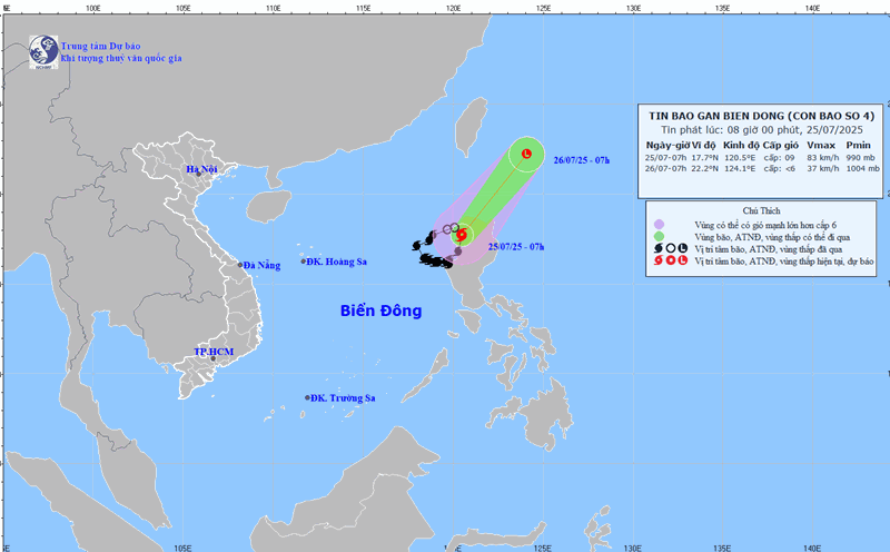
According to the National Center for Hydro-Meteorological Forecasting, at 1:00 p.m. on July 25, the center of storm No. 4 Comay was at about 19.8 degrees north latitude; 121 degrees east longitude, in the sea north of Luzon Island (Philippines). The strongest wind near the storm center is level 8 - 9 (62 - 88km/h), gusting to level 11. The storm is moving north-northeast at a speed of about 20 - 25 km/h.
It is forecasted that in the next 24 hours, storm No. 4 will continue to move mainly northeast and is unlikely to return to the East Sea.
Regarding the impact of the storm, today, July 25, the eastern sea area of the North East Sea will have strong winds of level 7 - 8, the area near the storm's eye will have strong winds of level 9, gusts of level 11: Waves from 3 to 5 meters high. The sea is very rough.
Ship operating in the above-mentioned dangerous areas are likely to be affected by thunderstorms, whirlwinds, strong winds, and large waves.
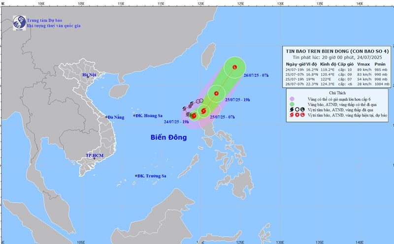
Earlier, early this morning, July 25, storm No. 4 Comay made landfall in the western area of Luzon Island (Philippines).