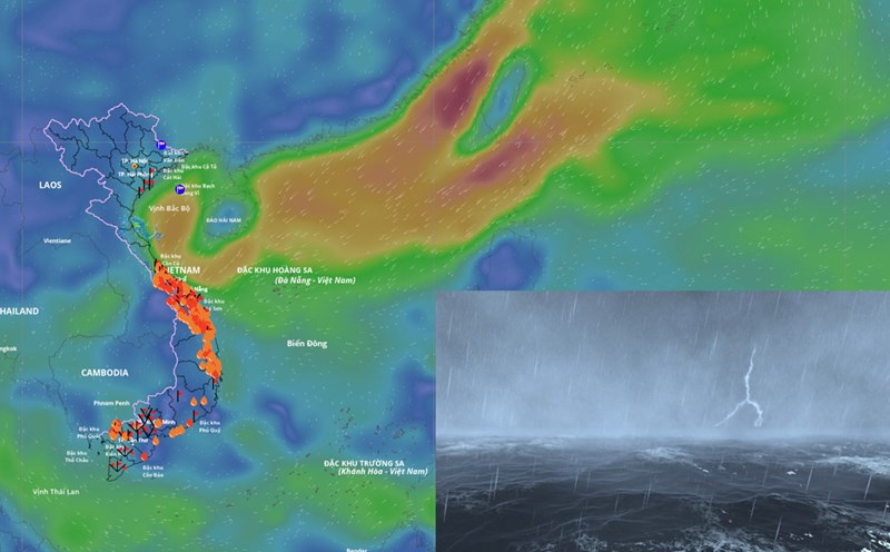
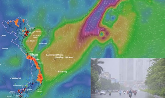
The Central region is facing a period of heavy rain, focusing on Hue city and Da Nang city. The water level at 2:00 p.m. on October 27 on the Bo River (Hue City) at Phuoc station was 5.25 m, 0.75 m above alert level 3 and was equivalent to the historic flood in 2020 (5.24 m).
After storm No. 12, a tropical depression entered the East Sea but quickly dissipated. Currently, there is no new storm or tropical depression. Therefore, the cause of the heavy rain in the Central region is of interest to the people. Mr. Mai Van Khiem - Director of the National Center for Hydro-Meteorological Forecasting, Department of Hydro-Meteorology analyzed this issue.

Sir, what is the cause of the prolonged rain in the Central region?
- The cause of the particularly heavy rain in the Central provinces is due to the combination of weather patterns such as low-level cold air, the tropical convergence zone rising from the south, plus humid winter winds operating from level 1500 - 5,000m. This is one of the very typical types of heavy rain in the Central region, with prolonged heavy rains caused by this weather combination.
How is the forecast for rainfall in the coming days and when will the rain tend to decrease, sir?
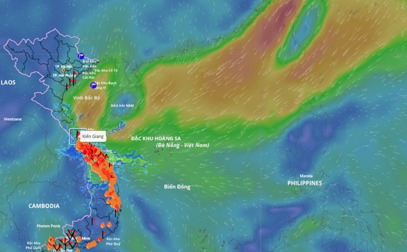
- It is forecasted that in the next 2 days, the cold air mass, tropical convergence zone, and winter wind will still be active. Therefore, from the evening of October 27 to the end of October 29, the area from southern Quang Tri to Da Nang city and the east of Quang Ngai province will have heavy to very heavy rain with common rainfall in southern Quang Tri and east of Quang Ngai province of 200 - 400mm, locally over 700mm, Hue city and Da Nang city are commonly 300 - 500mm, locally over 800mm.
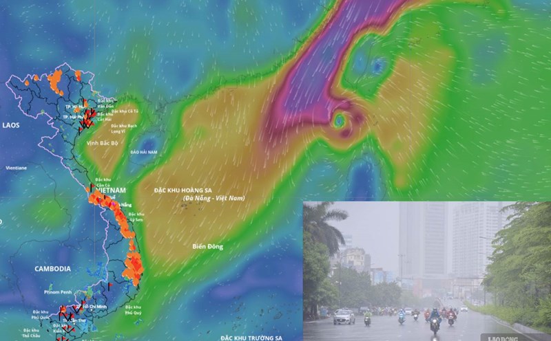
The area from Ha Tinh to northern Quang Tri will have moderate rain, heavy rain and thunderstorms with common rainfall of 100 - 200mm, locally very heavy rain over 350mm. From the night of October 29 and October 30, when the winter wind tends to decrease, in the area from Ha Tinh to Da Nang city and the east of Quang Ngai province, there will be moderate rain, heavy rain and thunderstorms with common rainfall from 50 - 100mm, locally very heavy rain over 200mm.
From the night of October 30, heavy rain will tend to decrease in the south and gradually move to the north of the Central region.
Sir, what is the forecast for the rainfall trend from now until the end of the year in the Central region, will there be more heavy rains or not?
- From now until the first half of December 2025, moderate and heavy rains are likely to continue to appear in the Central region, concentrated in the area from Ha Tinh to Da Nang, Khanh Hoa and the eastern areas of the provinces from Quang Ngai to Dak Lak.
It is forecasted that in November 2025, total rainfall in almost all areas across the country will generally be 10 - 30% higher than the average of many years, in some places higher. In particular, the Northern region is at a level close to the average of many years, except for the northern mountainous region, which tends to be short by about 10 - 20% compared to the average of many years in the same period.
In December 2025, total rainfall in the provinces from Quang Tri to Da Nang and the East from Quang Ngai to Dak Lak will generally be from 250 - 580mm, at a level 50 - 150mm higher than the average of many years. The Northern region and Thanh Hoa - Ha Tinh provinces generally have 15 - 40mm, Ha Tinh has a total rainfall of 80 - 150mm, a shortage of 5 - 10mm compared to the average of many years in the same period.
Other areas have total rainfall ranging from 40 - 80mm, 10 - 40mm higher than the average of many years in the same period.
Sincerely thank you!