According to the National Center for Hydro-Meteorological Forecasting, the activity of cold air is affecting the weather at sea. Con Co Station and Bach Long Vi Station had strong northeast winds of level 6, gusting to level 7.
On the day and night of October 27, the sea area north of the North East Sea (including the sea area north of Hoang Sa special zone) will have strong northeast winds of level 6 - 7, gusting to level 8 - 9, rough seas, waves 3 - 5 m high.
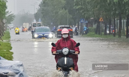
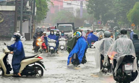
The Gulf of Tonkin has strong northeast winds of level 6, gusting to level 7 - 8, rough seas, waves 1.5 - 3 m high. The sea area from South Quang Tri to Quang Ngai has strong northeast winds of level 5, sometimes level 6, gusting to level 7 - 8, rough seas, waves 2 - 4 m high, high tides.
The sea area from Quang Tri to Ca Mau, from Ca Mau to An Giang, the Gulf of Thailand, the North and Central East Sea (including Hoang Sa special zone) and the South East Sea (including Truong Sa special zone) during the day and night of October 27 is also forecast to have scattered showers and thunderstorms. During thunderstorms, there is a possibility of tornadoes, strong gusts of wind of level 6 - 7 and waves over 2 m high.
On the day and night of October 28, the sea area north of the North East Sea (including the sea area north of Hoang Sa special zone) will have strong northeast winds of level 6 - 7, gusting to level 8 - 9, rough seas, waves 3 - 5 m high.
The Gulf of Tonkin and the sea area from South Quang Tri to Quang Ngai will have strong northeast winds of level 5, sometimes level 6, gusting to level 7 - 8, rough seas, waves 1.5 - 3 m high.
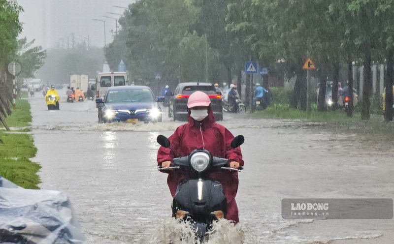
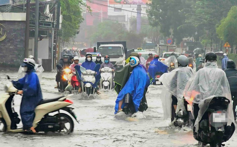
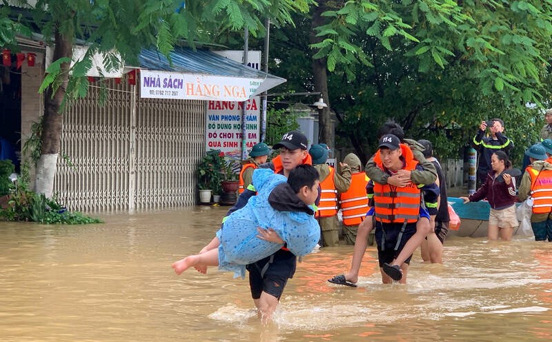
The meteorological agency warns that the risk level of natural disasters at sea is level 2. All ships operating in the above areas are at high risk of being affected by strong winds and large waves. Coastal areas from South Quang Tri to Quang Ngai are at risk of flooding low-lying areas due to high tides.