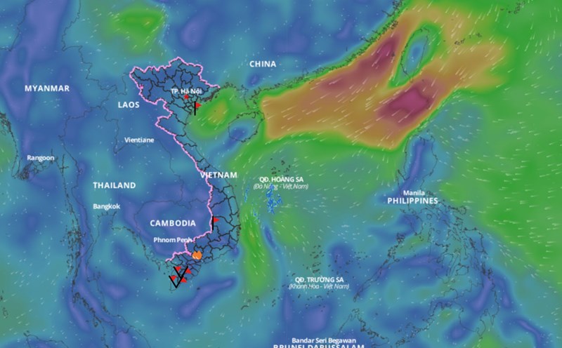
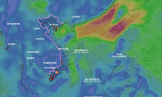
This afternoon, February 12, the center of the tropical depression is located in the northwest area of Truong Sa archipelago. The strongest wind near the center of the tropical depression is level 6 (39-49km/h), gusting to level 8.
The western sea area of the North and Central East Sea has heavy thunderstorms.
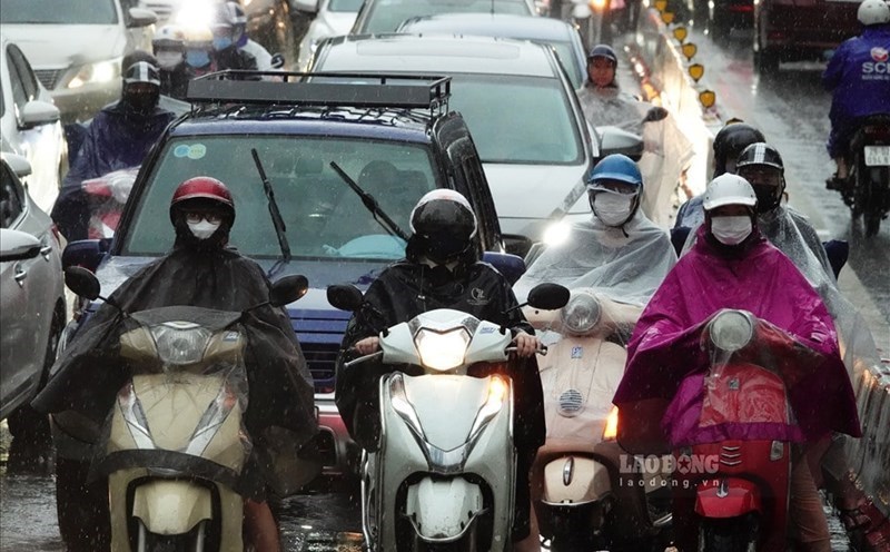
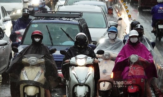
In addition, the cold air mass is currently moving south. Early in the morning of February 13, the cold air mass began to affect the marine weather.
With many different situations affecting the sea weather, the National Center for Hydro-Meteorological Forecasting has predicted strong winds and big waves in the next 24-48 hours.
On the night of February 12 and February 13, the western sea area of the central East Sea, the offshore sea area from Binh Dinh to Khanh Hoa has strong winds of level 6, gusting to level 8. Rough seas, waves from 2 - 3.5m high.
Early morning and on February 13, the North East Sea area (including the Hoang Sa archipelago) had strong winds of level 6, gusting to level 7 - 8. Rough seas, waves 2 - 4.5m high.
Gulf of Tonkin has strong winds of level 5, in the north sometimes level 6, gusting to level 7 - 8. Rough seas, waves from 1 to 2.5m high.
The western sea area of the central East Sea, the southwestern sea area of the northern East Sea (including the Hoang Sa archipelago) and the sea area from Binh Dinh to Khanh Hoa will have showers and thunderstorms. During thunderstorms, there is a possibility of tornadoes and strong gusts of wind.
On the night of February 13 and February 14, the northeastern sea area of the North East Sea (including the Hoang Sa archipelago) will have strong northeast winds of level 6, gusting to level 7 - 8; rough seas; waves 2 - 4.5m high; the western sea area between the East Sea and the sea area from Quang Ngai to Phu Yen will have strong winds of level 6, gusting to level 8; rough seas; waves 2 - 3.5m high.
The meteorological agency warns that the risk level of natural disasters due to strong winds at sea is level 2. All ships operating in the above areas are at high risk of being affected by tornadoes, strong winds and large waves.