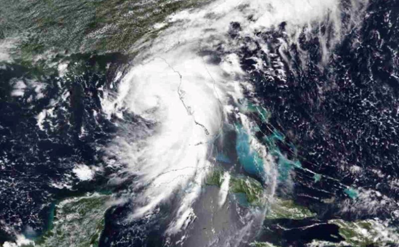
The latest storm news from Japan Times said that Maria - storm number 5 in this year's storm season in the western Pacific - made landfall at 8:30 a.m. on August 12 near Ofunato city, Iwate province, Japan.
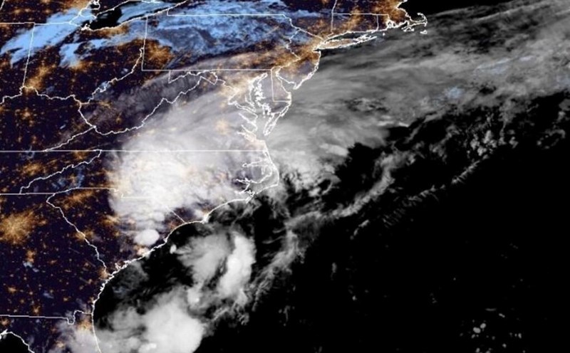
The latest storm in the Pacific brought strong winds and heavy rain to Japan's Tohoku region.
According to the latest storm forecast , storm No. 5 is expected to move slowly across Japan and then enter the Sea of Japan on the evening of August 12.
The latest storm news from the Japan Meteorological Agency indicates that Maria is the third tropical storm to make landfall on the Pacific coast of Tohoku since data were recorded.
It is forecasted that the risk of heavy rain, landslides, rising river levels, flooding, strong winds and large waves will occur here due to the impact of Hurricane Maria.
On the morning of August 12, the storm moved northwest at a speed of 15 km/h, with a central pressure of 985 hectopascals, bringing maximum sustained winds of 90 km/h and gusts of up to 126 km/h. h.
Storm forecasters note that although Storm No. 5 Maria is expected to weaken into a tropical depression on August 13, this system's slow movement will cause rain in this area for a longer period of time.
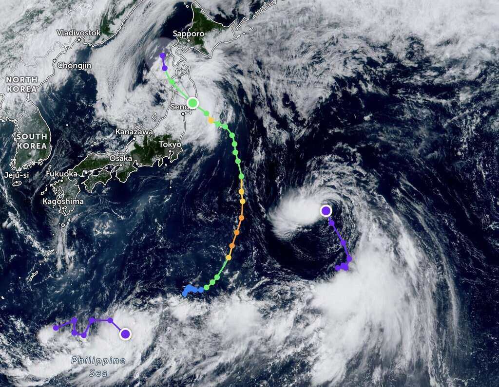
Previously, the latest storm news from the Joint Typhoon Warning Center (JTWC) of the US Air Force and US Navy at 7:00 a.m. on August 12 said that at that time, storm No. 5 Maria was 161km south of Misawa, Japan. south - southeast and moving northwest at a speed of 22 km/h in the previous 6 hours.
It is forecast that Typhoon Maria will continue to move northwest, interact with mountainous terrain in northern Japan and weaken to 65 km/h in the next 12 hours.
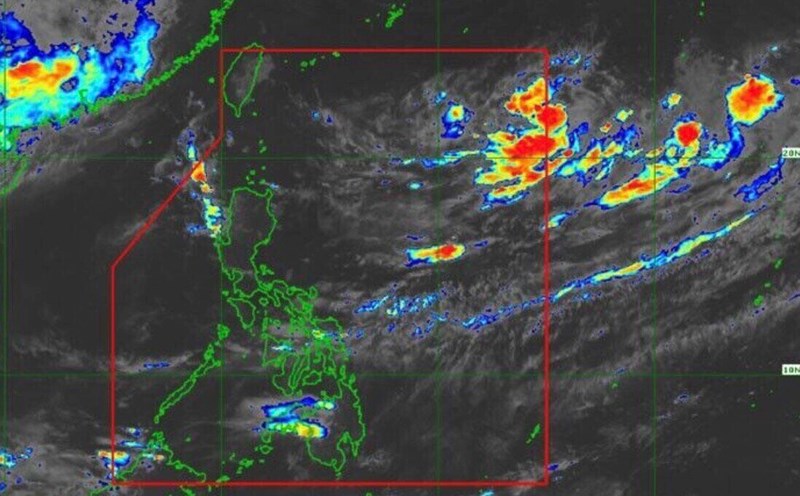
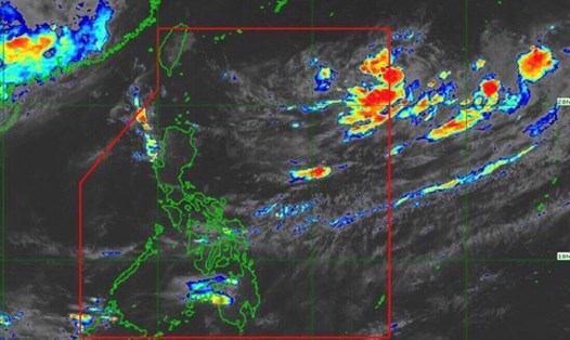
In other related developments, while Storm No. 5 Maria had just made landfall, a new low pressure - Invest 95W - appeared in the western Pacific Ocean.
The Joint Typhoon Warning Center (JTWC) forecasts that the new low pressure has a moderate chance of strengthening into a tropical depression in the next 24 hours. This depression has maximum sustained surface winds of about 55-65 km/h. Minimum sea level pressure is estimated to be near 995 hPa.
Forecast models show that low pressure will move over the sea in the next 2 days and gradually weaken.