CNN's latest storm and tropical depression news said that tropical storm warnings have been issued for some areas in Florida, USA, before storm No. 4 Debby is expected to form this weekend.
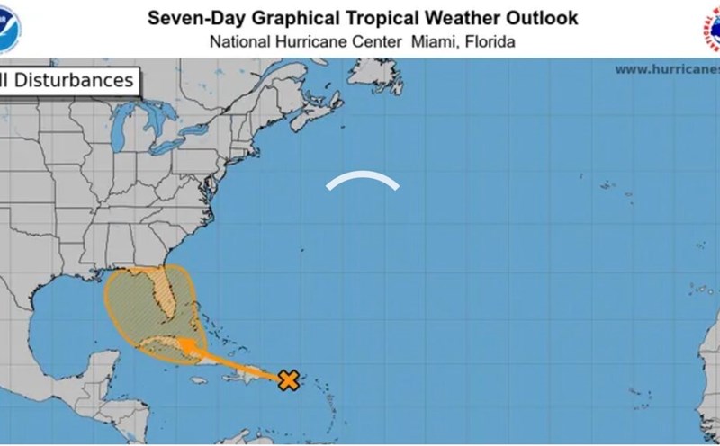
The low pressure area with winds of nearly 50 km/h in the Atlantic Ocean is being designated by the US National Hurricane Center (NHC) as a potential area for storm No. 4, which is showing signs of strengthening when it reaches Cuba, the south. Bahamas on August 2.
According to NHC's latest storm forecast, this low pressure area will become a tropical depression on the morning of August 3 after appearing in the waters between Cuba and Florida, USA and is expected to strengthen into Storm Debby on the evening of August 3.
The US National Hurricane Center issued an extended tropical storm warning along the west coast of the Florida peninsula, from Bonita Beach to Boca Grande. Officials urged people in the affected area to prepare for tropical storms within the next 48 hours.
Hurricane Debby is expected to move parallel to Florida's coastal area this weekend, gradually strengthen, then turn east and make landfall.
According to CNN, regardless of the intensity of the latest storm in the Atlantic , heavy rain is expected to be the most significant impact of the storm, especially if the storm moves slowly.
The risk of flooding prompted Florida Governor Ron DeSantis to declare a state of emergency from the afternoon of August 1 for 54 of the state's 67 counties to mobilize state and local resources ahead of the storm.
Sandbag distribution to residents in several communities in the Orlando and Tampa metropolitan areas began on August 2. Previously, Escambia, Okaloosa and Santa Rosa counties began distributing sandbags from August 1.
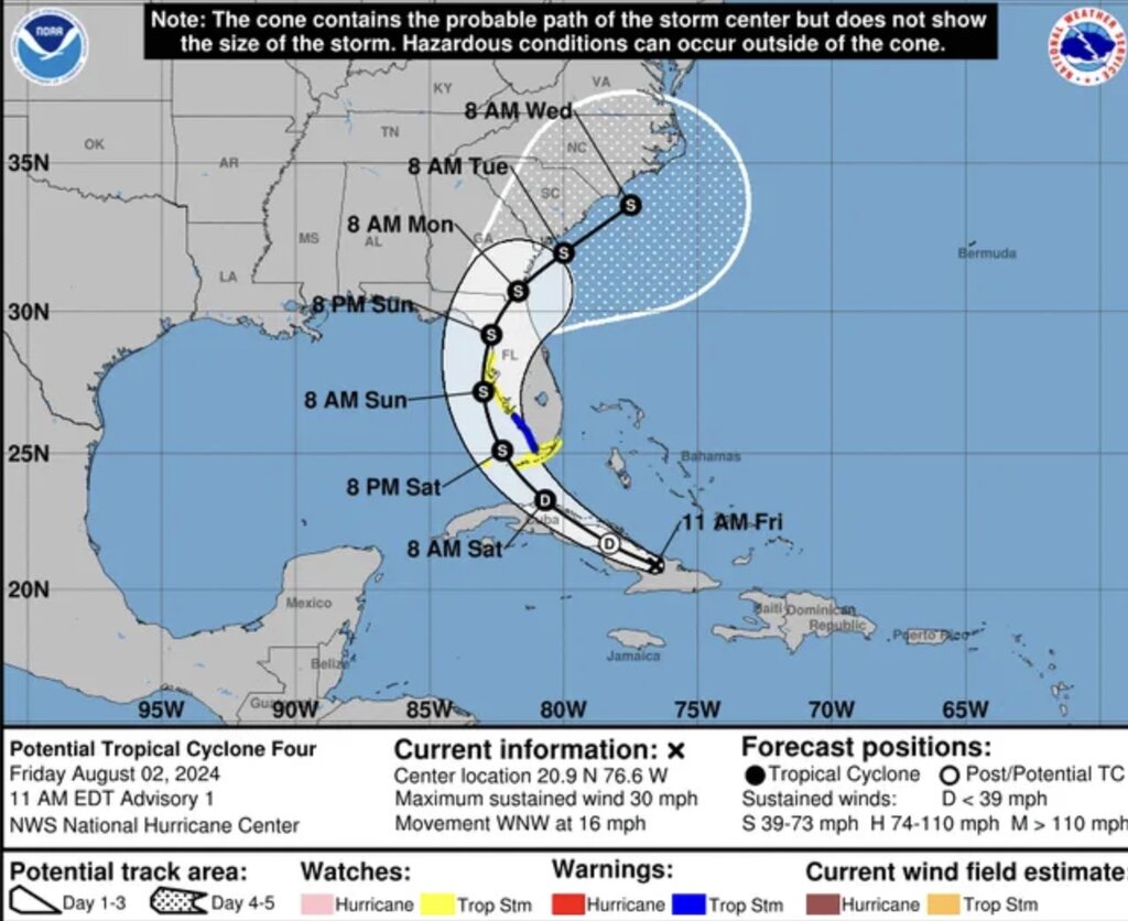
USA Today's latest storm news confirms that the low pressure area became a tropical depression on the morning of August 3 and will continue to strengthen into storm No. 4 Debby on the same day.
A system transitions from a depression to a named tropical storm when sustained winds are above 60 km/h and becomes a hurricane when winds exceed 115 km/h.
"Tropical storms will strengthen as they move north, so the farther north you go before making landfall, the higher the chance of the storm reaching hurricane status" - national weather agency America in Tallahassee, Florida noted on August 2.
AccuWeather said that as it moves through the eastern Gulf of Mexico this weekend, storm Debby is likely to become rapidly stronger. "As it moves through the hot waters of the eastern Gulf of Mexico, tropical storms can strengthen rapidly because of the wetter atmosphere and low-level wind shear," AccuWeather meteorologist Alex Sosnowski noted.
Storm forecaster Brian McNoldy of the University of Miami, USA, said: "Due to the extremely hot water temperature in the northeastern Gulf of Mexico, the possibility of the storm rapidly intensifying cannot be ruled out." A rapidly intensifying storm is understood as having an increase in intensity of at least 55 km/h within 24 hours.
Atlantic hurricane intensification occurs when they encounter an extremely favorable environment, which typically includes hot ocean water, low wind shear and high humidity, Colorado State University hurricane researcher Phil Klotzbach informed.
According to NHC's official storm forecast on the afternoon of August 2, the highest wind speed that Storm No. 4 Debby is expected to reach is 100 km/h, still lower than the standard 120 km/h to reach hurricane status. .