The end of November is opening a new period of uncertainty over the West Pacific, as many climate models - from ECMWF to Google's AI model - signal consensus on the development of a tropical/low pressure area that is likely to enter the Philippine typhoon monitoring area (PAR).
According to the Philippine Meteorological Agency and international models, a weather system with significant potential for strengthening is forming and may enter PAR in the last week of November, heading towards Eastern Visayas or Caraga.
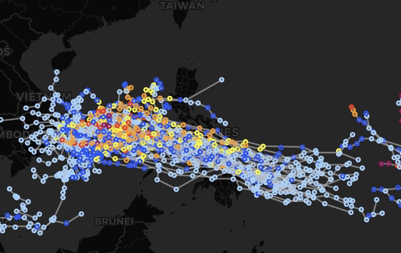
Models show that the system could be upgraded when it approaches the Philippines, but the final track and intensity have not yet been determined due to the need for more time to complete the structure.
The next storm to form will be named Hurricane Verbena in the Philippines.
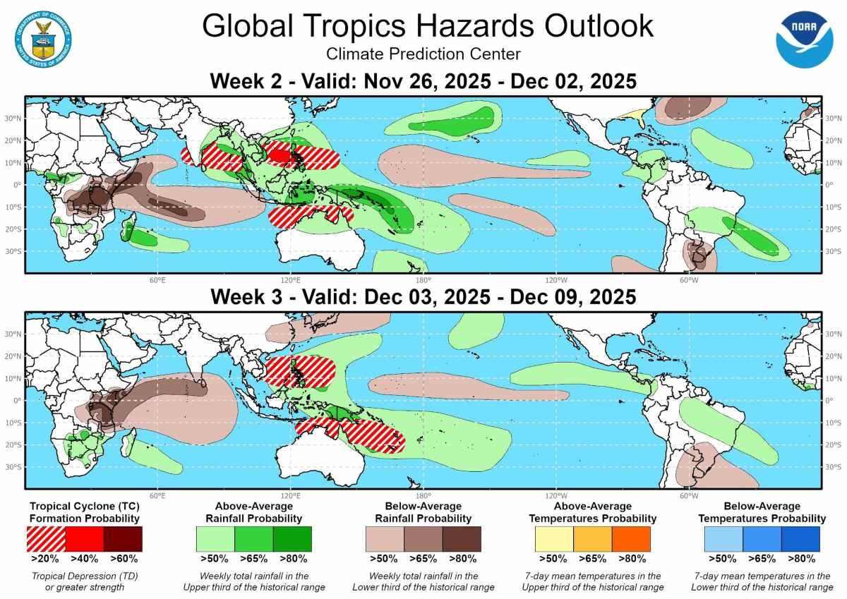
The expanded forecast from ECMWF shows a 40% chance of typhoon formation in the Philippines and the South China Sea during the week of November 26 to December 2.
The next week, from December 3-9, the environment will continue to be favorable for storm formation in the West Pacific, partly due to the Madden-Julian (MJO) shifting east.
Although December is the time when the West Pacific typhoon season weakens, the forecast still shows a 20% chance of a typhoon forming along the East Sea to the Philippine Sea.
Meanwhile, on the other side of the Pacific, the US is preparing to enter the busiest travel period of the year as 82 million people plan to travel during Thanksgiving. A major storm system is forecast to bring widespread rain and snow to some northern areas.
AccuWeather forecasts that from November 25-26, the storm will sweep from Texas to the Midwest, affecting Arkansas, Missouri to southern Illinois.
The risk of strong thunderstorms and traffic disruption is widely warned.
Atlanta and Florida could be hit by strong thunderstorms on November 26.
Strong winds could slow trips to Chicago and Minneapolis.
As the system weakens and moves northeast, just a few hours of rain is enough to clog roads and runways in Washington, D.C., Philadelphia, New York and Boston.
After the storm, the US will welcome a strong cold spell. Cold air from Canada has swept into the Great Lakes, creating an opportunity for snow from Wisconsin to the Michigan peninsula.
After the Thanksgiving, many central and northern states will enter a deep cold spell, with the possibility of heavy snow.


