The latest storm and low pressure information on July 21 from the Philippine Atmospheric, Geophysical and Astronomical Services Administration (PAGASA) said that the new low pressure LPA 07g has been detected off the southeast coast of Luzon, Philippines.
This low pressure formed outside the Philippine PAR forecast area on the evening of July 20. In the bulletin at 10:00 p.m. on July 20, PAGASA weather experts said that LPA 07g is unlikely to strengthen into a tropical depression within the next 24 hours.
PAGASA weather expert Daniel James Villamil said on the morning of July 21, the low pressure near the East Sea, estimated at about 1,140 km east of southeast Luzon, is still likely to directly affect the weather in the Philippines in the next 24 hours.
PAGASA said that this low pressure near the East Sea will move north in the coming days.
Regarding the weather forecast in the Philippines on July 21, Mr. Villamil said that the southwest monsoon or habagat will continue to affect most of the country.
Southwest monsoon rain is expected in Zambales, Bataan and Occidental Mindoro, while scattered rains are possible in Metro Manila, Ilocos, Benguet, tarlac, Pampanga, Bulacan, Cavite, Laguna, Batangas, Rizal and Oriental Mindoro.
According to the Philippine weather agency, the remaining areas of Luzon, Zamboanga peninsula, Visayas and Northern Mindanao will experience cloudy skies with scattered showers and thunderstorms.
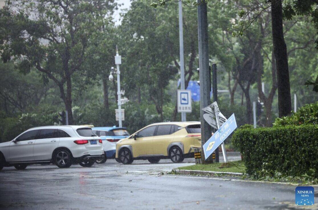
The low pressure near the East Sea appears in the context of Typhoon Wipha, known as Crising in the Philippines, still active in the East Sea.

Typhoon Wipha is moving into the Gulf of Tonkin on the morning of July 21 after making two landfall in China on July 20.
Typhoon Wipha made its first landfall at around 5:50 p.m. on July 20 in Hai Yen town, Giang Mon city, Quang Dong province, with the strongest wind near the center of the storm reaching 119 km/h.
Then, at around 8:15 p.m. the same day, Typhoon Wipha made a second landfall near Hai Linh Island in Duong Giang, Quang Dong Province at the level of a strong tropical storm, with maximum winds near the center of the storm up to 90 km/h.
Forecasters in China said that after leaving China, Typhoon Wipha will move west-southwest at a speed of about 20 km/h and gradually weaken in intensity.
According to the latest storm information from the US Navy's Joint Typhoon Warning Center (JTWC) on the morning of July 21, Typhoon Wipha is 367 km east of Hanoi, Vietnam. The storm has been moving west at a speed of 24 km/h for the past 6 hours. The minimum pressure at the center of the storm is 985 hPa, causing maximum waves of 5.5 m.
Previously, on July 20, Philippine typhoon forecasters said that after Typhoon Wipha, there is a possibility of another tropical storm entering the Philippine PAR forecast area this month. PAGASA previously forecast two to three typhoons near the Philippines in July.


