228 billion VND to reinforce both sides of the Red River dike in the old Ha Hoa district
The project to reinforce and upgrade the dike section, weak embankment and flood protection wall system of the left and right dykes of the Thao River (combined with National Highways 2D and 32C) - was approved by the People's Committee of Phu Tho province under Decision No. 1721/QD-UBND dated June 28, 2025.
This is a group B project with a total investment of 228 billion VND. The Phu Tho Provincial Construction Investment Project Management Board is assigned as the Project Investor. Implemented in 5 communes of Phu Tho province: Hien Luong commune, Dan Thuong commune, Ha Hoa commune, Vinh Chan commune, Van Lang commune.
According to the reporter's investigation, on October 28, 2025, the Phu Tho Provincial Construction Investment Project Management Board announced the bidding for "package No. 13: Construction of construction items" of the project.
Package No. 13 in the construction sector, widely bid online, costs more than 190 billion VND from support capital from the central budget, provincial budget and other legally mobilized capital sources.
In the coming time, after the results of contractor selection, the construction unit will implement a construction package for the following items: Traffic part, dyke part, embankment; Traffic assurance; Resource tax, environmental protection fee and mineral exploitation right award cost; Provisionary cost.
The two banks of the dike are often overflowed
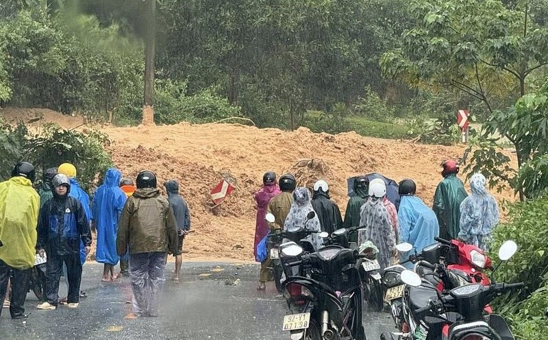
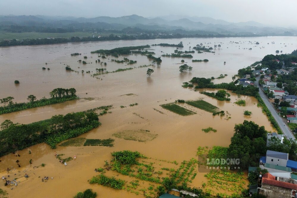
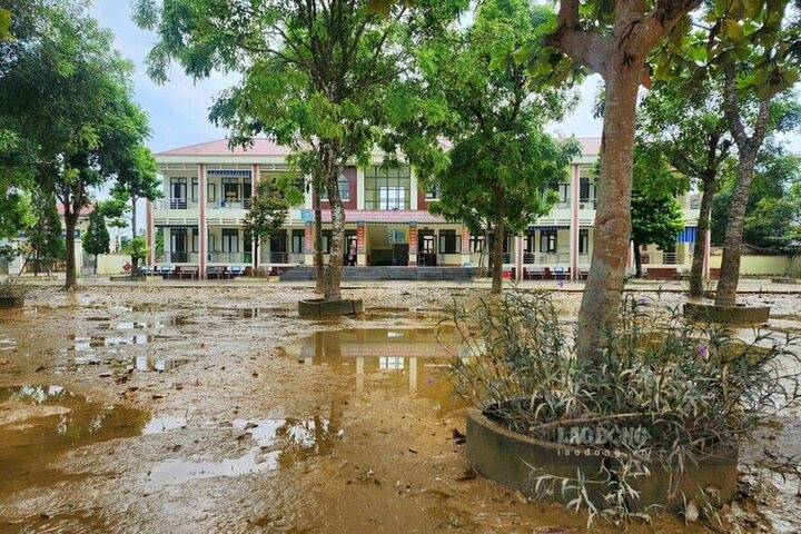
For about 2 years, during the rainy season, the water level of the Thao River section passing through Phu Tho province has risen, floodwaters overflowed the dykes, causing flooding in many places in the old Ha Hoa district, causing traffic routes to stagnate for many days, disrupting the lives of people in flooded areas, causing great property damage.
The peak was after storm No. 3 Yagi in 2024, at 7:00 a.m. on September 10, the water level of the Thao River at Yen Bai station (now in Lao Cai province) was above alert level 3 (3.32m), 1.1m above the historical flood level in 1968 . In the downstream, at 6:00 a.m. on September 11, the water level on the Thao River at Am Thuong (old Ha Hoa District) was 27.90 m, 1.9 m above Alert Level 3, exceeding the historic flood in 1971 (27.32 m).
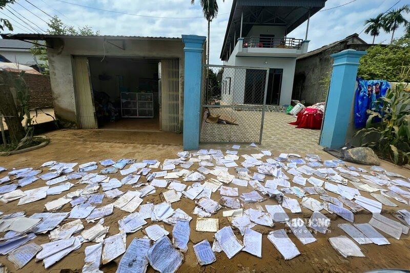
At that time, floodwaters overflowed the dike, causing many areas to be submerged in water. Thousands of households in the old Hien Luong commune (on the right bank of the river), the old Dan Thuong commune (on the left bank of the river) and many neighboring communes had to evacuate due to flooding.
Most recently, after storm No. 10 Bualoi, at 6:00 a.m. on September 30, the water level of Thao River in Hien Luong commune rose more than 1.15m above alert level III, causing widespread flooding.
Over 100 households in Hien Luong commune have been affected, 87 households have had to be evacuated, more than 40 hectares of rice and aquaculture areas are submerged in water. Many roads, dykes, and irrigation works were damaged, and some residential areas were completely isolated. The flood also caused canals and landslides on Van mountain canals in area 11. Destroyed Phai Lang dam canal, area 9.
Given the complicated developments of storms, floods and natural disasters as mentioned above, investing in the project to reinforce and upgrade the section of dykes, vulnerable embankments and the flood protection system of the left and right dykes of the Thao River (including National Highways 2D and 32C) through the old Ha Hoa district is urgent.
The project will overcome dike incidents, especially landslides and dike overflow when river water levels rise; ensure flood safety, combined with upgrading the left and right dykes of the Thao River (at the same time National Highways 32C, 2D), serving rescue and relief work when natural disasters occur.
At the same time, stabilize existing residential areas, protect state assets, people's lives and property; contribute to socio-economic development, ensure national security and defense in the province.